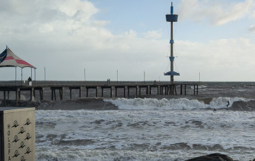
The coming weekend looks a bit smaller size wise though with plenty of action for protected spots on the South Coast. Early-mid next week are average, better later week.
Primary tabs
/reports/forecaster-notes/south-australia/2025/09/19/slight-downgrade-in-the-weekends-swell
Craig
Friday, 19 September 2025
/reports/forecaster-notes/south-australia/2025/09/17/get-out-today-and-tomorrow
Craig
Wednesday, 17 September 2025
Today on the Mid Coast and tomorrow on the South Coast look to be the pick ahead of a trickier, windier outlook.
/reports/forecaster-notes/south-australia/2025/09/15/large-swells-inbound-tricky-winds
Craig
Monday, 15 September 2025
The coming week will favour the South Coast wind wise, with one window across the Mid.
/reports/forecaster-notes/south-australia/2025/09/12/great-tomorrow-overactive-next-week
Craig
Friday, 12 September 2025
We'll enter a very un-spring like period into next week following great waves tomorrow.
/reports/forecaster-notes/south-australia/2025/09/10/average-end-the-week-great-weekend
Craig
Wednesday, 10 September 2025
The weekend looks great for the South Coast, especially Saturday ahead of an active run of surf next week and beyond.
/reports/forecaster-notes/south-australia/2025/09/08/best-the-south-coast-especially-the-weekend
Craig
Monday, 8 September 2025
The window for a clean wave will be trickier to find this week, with a fun weekend ahead.
/reports/forecaster-notes/south-australia/2025/09/05/windy-fun-weekend-easing-surf
Craig
Friday, 5 September 2025
The current swell will ease over the weekend with tomorrow being the standout across north-east favourable breaks. A good new westerly swell is due early next week.
/reports/forecaster-notes/south-australia/2025/09/03/more-swell-pulses-come-less-ideal-doable-winds
Craig
Wednesday, 3 September 2025
Conditions for both coasts over the coming days will be hit and miss but there should be quality windows for those with flexibility and on the pulse.
/reports/forecaster-notes/south-australia/2025/09/01/good-great-the-south-coast
Craig
Monday, 1 September 2025
The coming period looks best for the South Coast with a couple of fun days inside the gulf later week.
/reports/forecaster-notes/south-australia/2025/08/29/gradual-improvement-over-the-weekend-next-week
thermalben
Friday, 29 August 2025
The Southern Ocean is lining up an almost endless supply of mid-latitude lows and fronts, and we’ve got waves as far as the eye can see.