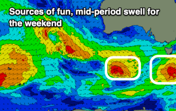
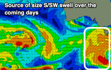
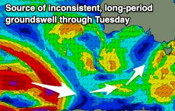
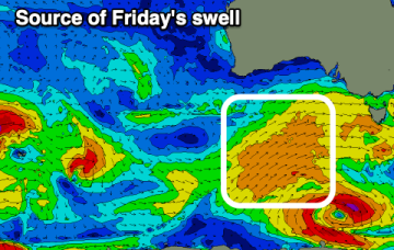
The outlook is stacked for the Surf Coast, you'll just have to work around a run of average winds early-mid next week.
Primary tabs
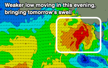
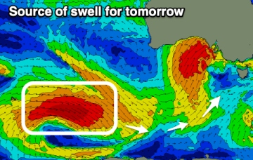
Tomorrow will be fun before the swell bottoms out Friday, increasing nicely again through the weekend with an improvement in local winds.
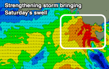
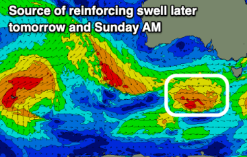
We've got building levels of swell initially from the west, then more south-west from Sunday though with tricky winds.
The weekend looks super fun for a surf, with the outlook from mid-next week onwards being very un-spring like.
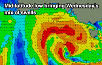
The end of the week isn't great, while the weekend looks super fun, with an overactive period expected from mid-late next week through the weekend and following week.
Winds won't be overly pleasant this week but we should see windows for those on the pulse.
Tomorrow morning will likely still be a bit big for exposed beaches east of Melbourne, improving later as the swell eases and then tricky Sunday with strong winds.
Make the most of the current swells before things back off through the weekend as winds favour the beaches. Next week is flukey.
Besides Friday, this week looks great for surf, with the beaches coming into play with offshore winds from the weekend.
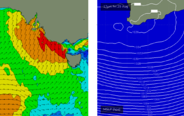
A vigorous low and cold front will cross Bass Strait overnight tonight, bringing gale to storm force SW winds across the entire Victorian coast.


