Another sizey NE swell for the weekend
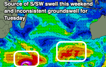
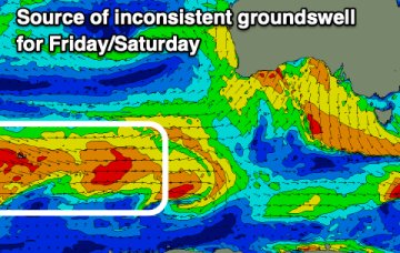
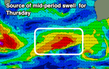
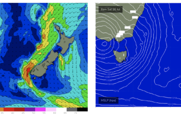
We’ll see the current pattern repeat as a pre-frontal N’ly flow ramps over the weekend before a front and low bring a stiff W’ly change.
Besides tomorrow morning, there's nothing of real note.
Metro regions will fair best again with the South West taking its time to clean up as the swell fades.
During this time frame a retreating but broad and long trade fetch will be supplying some background E’ly pulses.
The coming outlook isn't as reliable wind or swell wise but there are a couple of days to work with.
EC has a much more bullish outlook with a robust cut-off low sitting in the Tasman for the second half of next week.
Later week and Saturday will provide fun surf across the exposed beaches around the state.
Slower week ahead of a large mix of swell for the weekend though below model forecasts again.
The coming outlook is the worst of the winter so far. Try the East Coast.
The run of onshore conditions for the South West should ease temporarily later week, though the swell isn't as big as it appears.