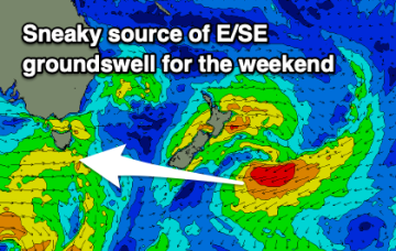
Flukey swell sources from the S short term, looking eastwards next week
Wednesday, 16 July 2025
Flukey swell sources from the S short term, looking eastwards next week
Wednesday, 16 July 2025
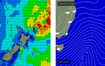
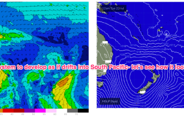
Not much short term gain from this system but there is broad model agreement we’ll see this low deepen and develop into a more powerful system mid/late next week as it drifts into a position north of the North Island.