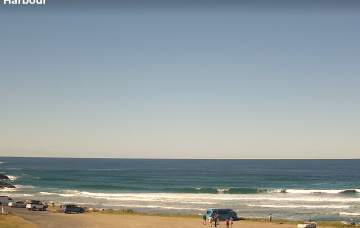
Winter patttern with fresh offshores and small S pulses
Friday, 11 July 2025
Winter patttern with fresh offshores and small S pulses
Friday, 11 July 2025
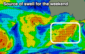
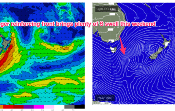
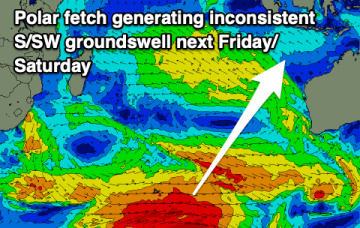
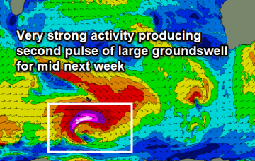
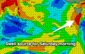
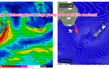
We’ll see a nice S pulses over the weekend as multiple fetches operate on an active sea state.