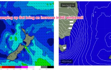
Mix of swells ahead, mostly small but with windows of fun surf
Wednesday, 23 July 2025
Mix of swells ahead, mostly small but with windows of fun surf
Wednesday, 23 July 2025
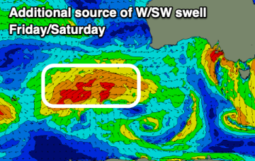
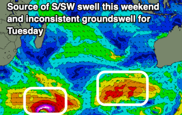
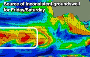
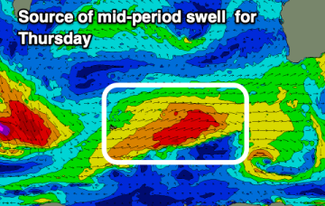
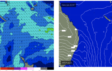
During this time frame a retreating but broad and long trade fetch will be supplying some background E’ly pulses.