Fun surf through the weekend and into next week
Wednesday, 18 June 2025
Fun surf through the weekend and into next week
Wednesday, 18 June 2025
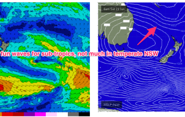
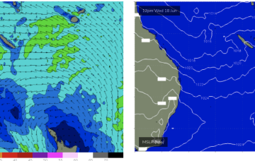
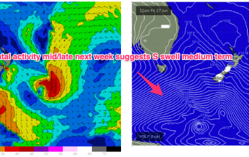
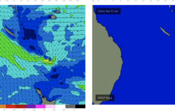
We’ll see rideable surf develop through tomorrow and extend into the weekend under SE winds. Rideable,fun surf should persist into early next week before easing.