E'ly swells on tap with ECL to the south mostly affecting Hunter southwards
Monday, 30 June 2025
E'ly swells on tap with ECL to the south mostly affecting Hunter southwards
Monday, 30 June 2025
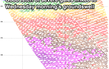
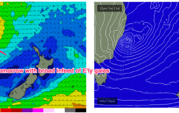
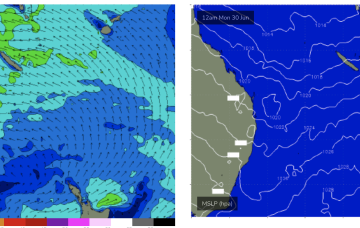
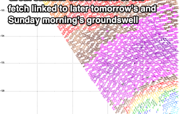
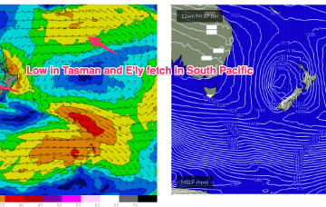
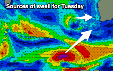
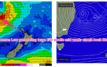
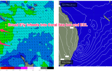
A Coral Sea trough deepens into a small low and becomes continuous with a NSW coastal trough which deepens today and forms an ECL over the next 12-24hrs. By first light tomorrow morning and ECL or variant thereof will be positioned off the lower end of the MNC, likely due east of Seal Rocks.