Winter flat spell in progress, no end in sight (continued) 
Wednesday, 9 July 2025
Winter flat spell in progress, no end in sight (continued)
Wednesday, 9 July 2025
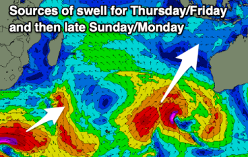
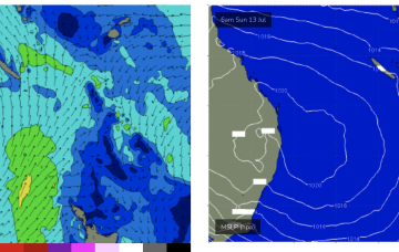
We’re in a typical winter style pattern with the high pressure belt up over the continent and any SE winds are now confined to the tropics.