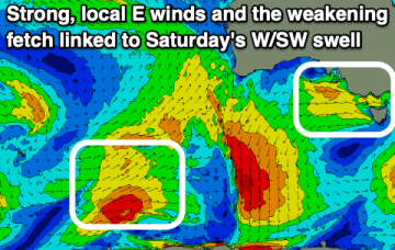
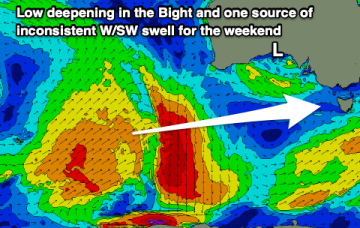
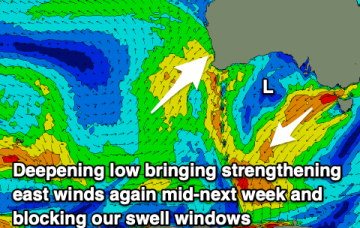
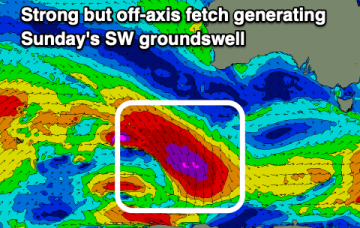
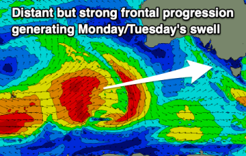
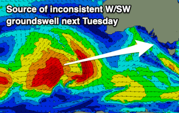
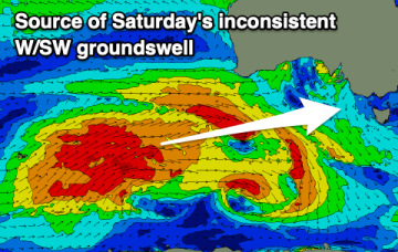
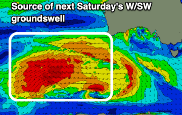
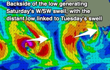
We'll see conditions improve across the beaches tomorrow but with a fading swell, bottoming out Friday. A new mix of swells are due into the weekend but with deteriorating local winds.
Primary tabs
Make the most of today as windows of clean conditions with any size will be limited over the coming period.
We've got a run of east winds this period though Sunday morning looks to be the cleanest west of Melbourne with a new groundswell.
Poor winds and plenty of swell for the coming days but only improving from Sunday and mostly for the beaches.
Get stuck into today and early tomorrow before onshore winds and poor conditions set in.
Light winds this morning are worth making the most of ahead of a change this afternoon and poor surf tomorrow. Options open up from Sunday.
We've got varying but favourable winds over the coming days before things go a little pear shaped next week.
There'll be plenty of options for a surf over the coming period with lots of swell and favourable winds for the beaches at times.
Clean conditions all weekend on the Surf Coast with some fun sized westerly swell, with plenty of options next week for a surf as the size slowly builds later in the period.
Make the most of today on the beaches ahead of some small, inconsistent westerly swell into Friday afternoon, better Saturday.

