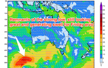
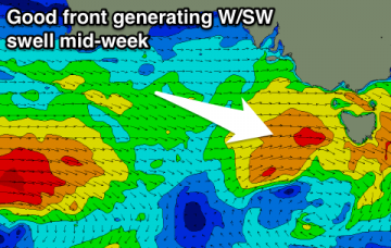
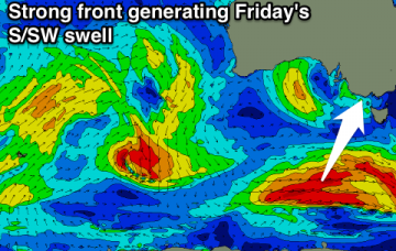
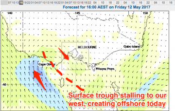
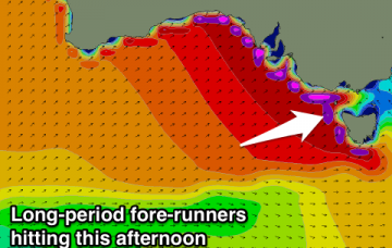
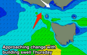
Late Thursday, a new W/SW swell is expected to push through, providing energy for Friday morning.
Primary tabs
Easing W/SW groundswell with N'ly winds tomorrow, building W/SW swell with good winds for protected spots on the Surf Coast Sunday, clean as it eases Monday.
Small clean westerly swell on the Surf Coast tomorrow, better Friday with a strong building W/SW groundswell and favourable winds all day. Clean and easing Saturday with good winds for the beaches, and a new mix of swells for Sunday.
Small flukey W/SW swells for the coming days, best on the Surf Coast Thursday morning. Good strong W/SW groundswell for Friday afternoon and Saturday with favourable winds.
Clean all weekend but small and easing tomorrow, tiny Sunday. Tiny again Monday morning ahead of a late increase in W/SW swell, better from Tuesday afternoon.
Small to tiny tomorrow with easterly winds, stronger into Friday but spoiling a good new S/SW swell. Cleaner conditions over the weekend but small and fading.
Average run of swells with winds from the north-eastern quadrant for the coming forecast period.
Small swells for the coming period with varying winds as a surface trough lingers in our region.
Inconsistent W/SW groundswell building through tomorrow with winds holding from the NW-W/NW most of the day. Onshore Friday and hopefully more variable each morning over the weekend.
Average onshore waves tomorrow, better Wednesday but small. New very inconsistent W/SW groundswell building Thursday, but onshore at the peak. Better weekend.

