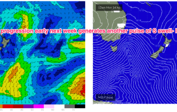
That will lead to elevated surf from the SE-E for most of next week with just a very slow, gradual tapering off as the fetch slowly weakens while remaining basically semi-stationary.
Primary tabs
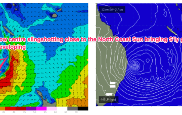
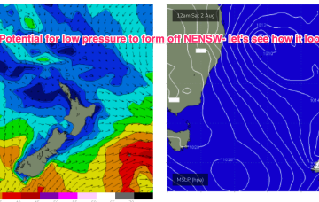
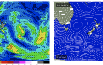
There’s broad model agreement now for a low to form off the sub-tropical coast and merge with a Coral Sea low pressure centre, deepening explosively through Sat and into Sun.
Inshore we’ll see those winds between 10-15 kts through the morning tending stronger N’ly through the day and generating small NE windswells for the MNC up to Yamba, not much further north of there.
During this time frame a retreating but broad and long trade fetch will be supplying some background E’ly pulses.
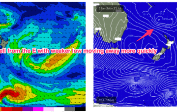
Unfortunately, compared to Fridays expectations the interplay between these two systems is weaker, with a more constrained fetch of lower windspeeds that drifts away quicker than modelled on Friday. That will result in smaller east quadrant swell this week, relative to Fridays expectations.
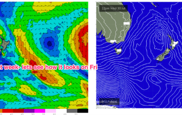
There’s still some model divergence later next week but for now we’ve got reasonable confidence a broad fetch will develop through the Northern Tasman as high pressure moves into the Tasman and supplies an anchor for the low.
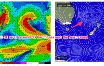
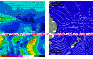
We'll see plenty of surf surf from this system initially but there is broad model agreement we’ll see this low deepen and develop into a more powerful system mid/late next week as it drifts into a position north of the North Island. Best case scenario is a quality E’ly groundswell event from this system.
A strong front pushed into off the NSW coast the Tasman Sea overnight, and it’s generating a flush of south swell that’ll fill in this evening and provide a nice boost in surf size across Northern NSW on Tuesday.
We’ll see some nice S pulses over the weekend as multiple fetches operate on an active sea state. Favouring NENSW for size, with small background E swell padding out surf zones in SEQLD.
Compared to Mondays notes the outlook for S swell is improved, mostly due to a better aligned following front which conjoins the initial front and forms a slower moving low in the southern Tasman.

