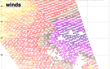
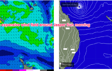
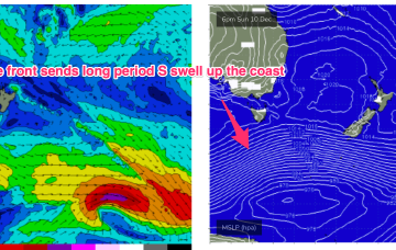
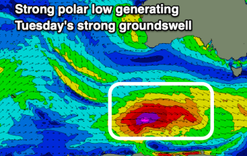
Nice round of long period south swell ahead
Monday, 11 December 2023
Nice round of long period south swell ahead
Monday, 11 December 2023
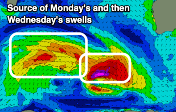
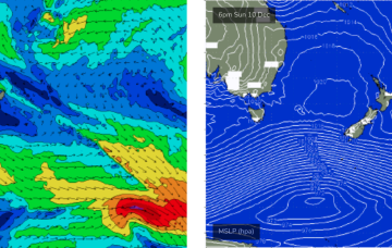
From about lunchtime onwards (South Coast) and late afternoon across the Sydney region, we'll be on high alert for the leading edge of a decent long period southerly groundswell.