Indonesia/Maldives forecast December 7
Thursday, 7 December 2023
Indonesia/Maldives forecast December 7
Thursday, 7 December 2023
Slowly easing swell, with another fun pulse early next week.
Slowly easing swell, with another fun pulse early next week.
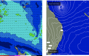
By Fri Cat 3 or above TC Jasper will be in the middle of the Coral Sea with increasing swells for CQ.
The troughy pattern we’ve seen since early November continues, with surf potential continuing to favor small swells from infeeds into the trough.
TC Jasper has formed in water surrounding the Solomon Islands and is intensifying under favourable conditions. Most models now are suggesting a SW-W curvature as it enters the Coral Sea, with a smaller surf potential compared to Mondays notes as it crosses the coast instead of tracking through the Coral Sea.
Beginners will find plenty of tiny peelers over the coming days. Next week looks much stronger swell wise.
TC Jasper has formed in water surrounding the Solomon Islands and is intensifying under favourable conditions. Most models now are suggesting a SW-W curvature as it enters the Coral Sea, with a limited surf potential compared to Mondays notes, especially for temperate NSW.
The current swell will ease over the coming days with less favourable winds, improving on the weekend with a fun new pulse of swell Saturday morning.
Make the most of the waves in the gulf before the swell fades and winds go north Friday. There'll be windows down South to follow.
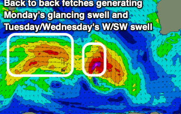
A more consistent, though weaker west swell is due over the coming days with favourable winds. Stormy conditions from the SE will develop from Sunday.