Fading south swell, with sneaky east
Monday, 14 July 2025
Fading south swell, with sneaky east
Monday, 14 July 2025
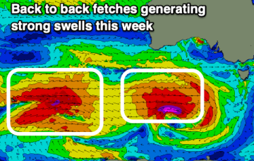
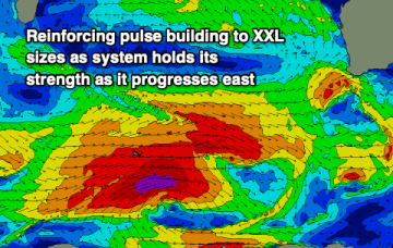
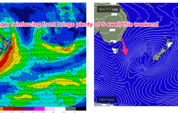
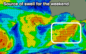
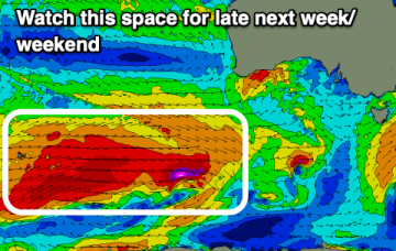
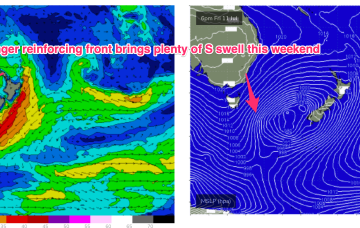
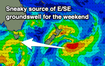
The coming period looks very slow with today's south energy due to fade tomorrow. A sneaky, small east groundswell is due on the weekend.