Plenty of swell, but winds are tricky
Saturday's winds look problematic for the South Arm whilst Sunday should see improving conditions.
At best, we have a brief window of light winds early Saturday morning, and this will be the only window of opportunity to surf down south.
Unfortunately, the timing of the southerly change expected early Saturday is not favourable for Victorian surfers.
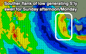
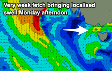
That fetch will be positioned too far south for CQ and as a result of that we’ll see mostly tiny surf next week.
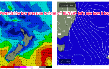
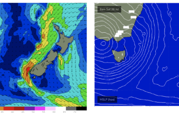
By mid week the trough of low pressure in the Tasman is expected to be moving southwards towards the NSW south coast.
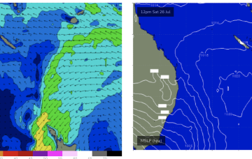
We’ve got good model agreement now that through Mon we’ll see a deep trough develop from the Coral Sea down to a terminus somewhere on the MNC to lower North Coast with good odds we will see a surface low develop at that terminus.
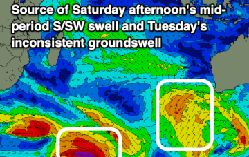
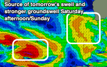
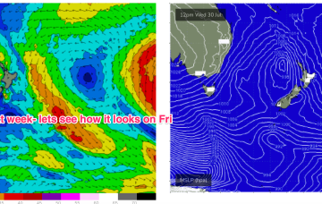
The initial swells will be generated by overlapping fronts tracking through the Southern Ocean, whereas the large pulse will be courtesy of a rapidly deepening cut-off mid-latitude low at the tail end of the frontal sequence.
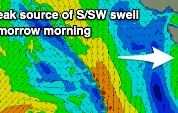
Friday should see similar conditions for most of the day ahead of a late SW change, but with building size from a much stronger fetch pushing through the Southern Ocean, the strongest part of which is contained with the associated polar low.
Weaker pressure gradients are now in the Coral Sea, as the synoptic pattern takes a pause in between dominant high pressure systems.