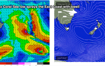
Lots of size from the E from this weekend and into next week as low drifts south from Coral Sea
Wednesday, 20 July 2022
Lots of size from the E from this weekend and into next week as low drifts south from Coral Sea
Wednesday, 20 July 2022
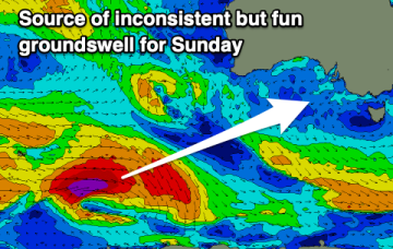
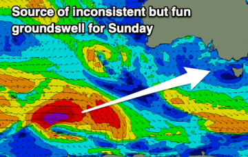
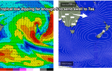
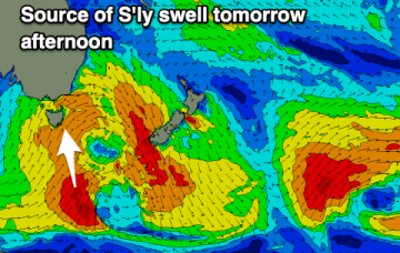
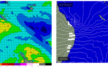
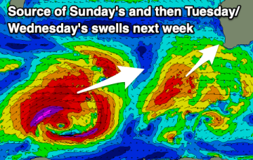
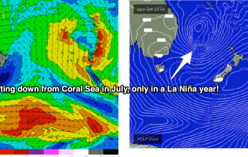
The basic building blocks as we described them in Monday's notes are now in place for (another!) dynamic La Niña mediated surf/weather event. A dominant high pressure system (1034hPa) is strengthening as it slowly crosses Tasmania, a typical Summer latitude for high pressure. The remains of a low near the South Island are continuing to send south quadrant swells our way and most notably a trough of low pressure in the Coral Sea is deepening and expected to activate into a fully fledged Coral Sea surface low as an upper trough moves over it from inland QLD tomorrow.