Indonesia/Maldives forecast Jun 24
Tuesday, 24 June 2025
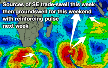
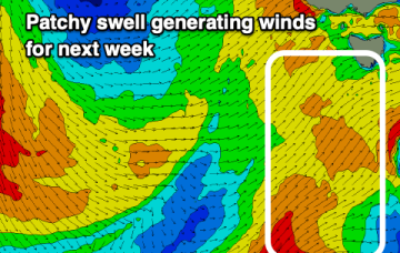
Lots of activity for the coming fortnight.
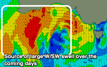
Surf rebuilds next week from a combination of Tradewinds as a new high pressure ridge builds over the weekend and long range E swell from a South Pacific low.
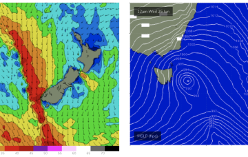
Despite the travel distance to Tasmania, we should see some quality long range E/NE swell from this source, with some size from the south this week as the front and low traverse the Tasman.
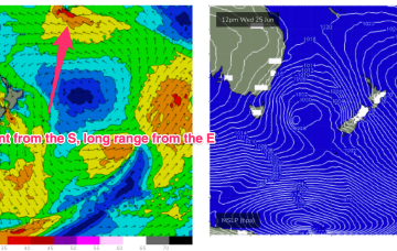
A retreating trade fetch gets supercharged by a developing trough and low in the South Pacific, reaching maximum intensity between Tongan and Tahitian longitudes. Despite the travel distance, we should see some quality long range E swell from this source, with some size from the south this week as the front and low traverse the Tasman.
Following an onshore blow Wednesday, Thursday and into the weekend look great.
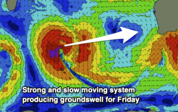
Two pulses of groundswell this week with a few windows as high pressure moves in.
The coming days will become large and stormy across the Mid Coast, improving later week and great on the weekend!
Despite the travel distance, we should see some quality long range E swell from this source, with some size from the south this week as the front and low traverse the Tasman.
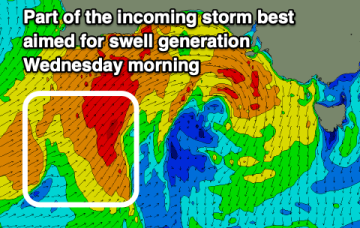
Lower your expectations for Wednesday and focus on Friday onwards.
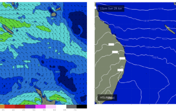
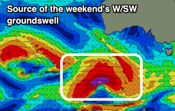
The weekend looks mostly clean with a long-range groundswell, windy and tricky mid-late next week.