Small, just rideable surf possible this week
We should see some tiny, possibly just rideable surf from the system through the week, more likely after Wed as the fetch draws out into the Northern Tasman.
Quality E/NE swell likely by end of the week as low/trough moves south through the Tasman
These small lows may move north, then east and finally south or may coalesce in a more classic Tasman Low or ECL variant. Either way we should see some quality E/NE swell for Tas as the fetch draws out through the Tasman.
Strong swell late week
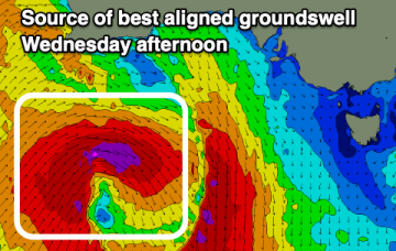
The end of the week looks solid and clean with a strong W/SW groundswell expected.
Best over the next two days
The surf will be best tomorrow and Wednesday as NW winds spoil an oversized SW groundswell.
Complex trough and potential low off North Coast this week brings plenty of swell and tricky winds
These small lows may move north, then east and finally south or may coalesce in a more classic Tasman Low or ECL variant. With so much uncertainty still around be prepared for major revisions as we move through the week. This is a nightmare to forecast!
Strong back to back swells this week
A sizey westerly swell will be followed by a stronger south-west groundswell with great winds for the South Coast.
Wild and wooly weather ahead, still uncertainty as to how trough/low evolves
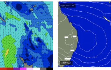
A very unstable, dynamic synoptic chart this week with a large high (1034hPa) moving from the Bight through Victoria, with a coastal trough deepening off the Mid North Coast on the leading edge of the high directing very moist onshore winds across Central NSW, extending up into the sub-tropics.
Large, strong groundswell into the end of the week
Following a slow easing trend for the coming days, the end of the week looks large under a north-east flow.
Excellent, sizeable waves ahoy!
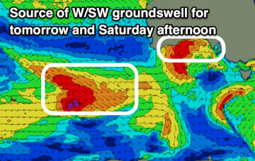
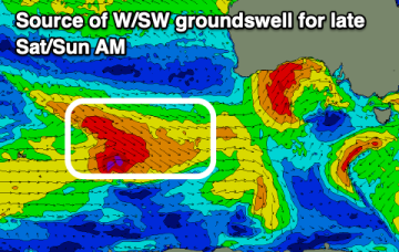
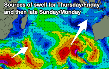
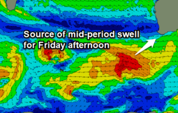
Tuesday will start to build surf size, originating the fetch trailing Monday’s front. However, the origins of this swell will go back five or six days - this system has actually been taking shape from a position south of Africa on Wednesday, before moving eastwards through the southern Indian Ocean.