Small round of summer E/NE swell ahead, still waiting for something more juicy
Wednesday, 10 January 2024
Small round of summer E/NE swell ahead, still waiting for something more juicy
Wednesday, 10 January 2024
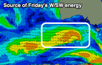
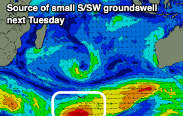
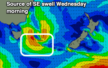
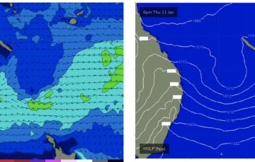
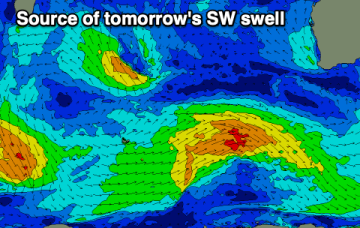
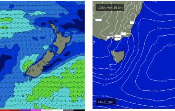
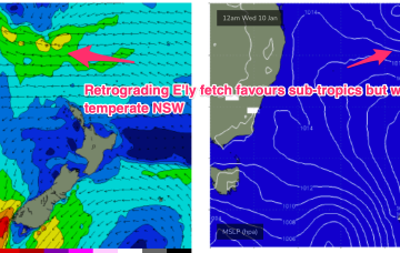
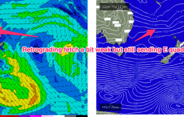
The compact low near Tasmania is now skipping away to the SE with a large high SE of the South Island (1034 hPa) interacting with a broad low pressure trough in the South Pacific which will supply E’ly quadrant swell in the near term as the low pressure trough retrogrades back towards the east coast.