Nothing significant ahead, some marginal improvement possible
Monday, 1 January 2024
Nothing significant ahead, some marginal improvement possible
Monday, 1 January 2024
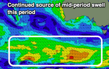
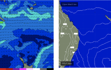
The high in the Tasman sets up some sort of trade flow in the Coral Sea later this week and into the next. It’s not much of a fetch, mostly weak, disjointed and located at the extremity of the Coral Sea (close to New Caledonia) but it should be enough too see some just rideable surf for late this week.