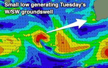
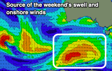
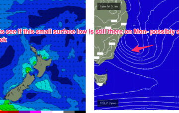
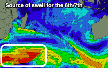
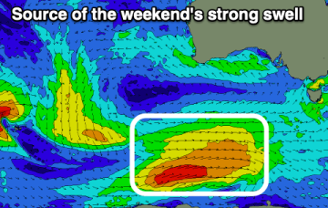
Plenty of size for the weekend, smaller next week and cleanest Monday
Friday, 29 December 2023

Plenty of size for the weekend, smaller next week and cleanest Monday
Friday, 29 December 2023
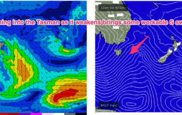
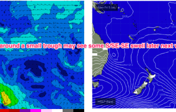
There's a ton of swell due this period but windows of clean conditions will be a bit more limited.