Large, easing northwest swells; another pulse for the weekend
Thursday, 3 March 2016
Large, easing northwest swells; another pulse for the weekend
Thursday, 3 March 2016
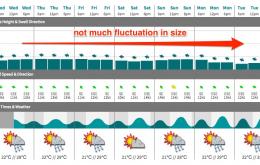
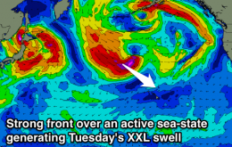
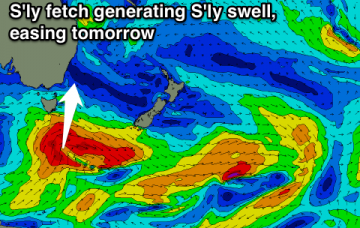
Overnight, the forecast XXL pulse peaked and has been providing solid 20ft+ sets throughout today, slowly easing as the day has progressed.