/reports/forecaster-notes/south-east-queensland-northern-new-south-wales/2023/07/31/mid-week-s-swell
freeride76
Monday, 31 July 2023

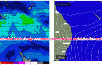
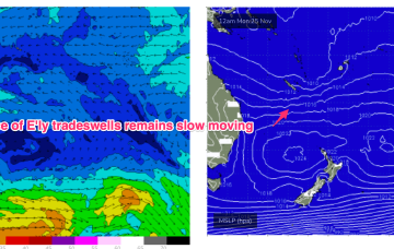
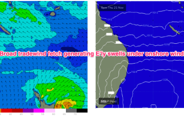
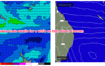
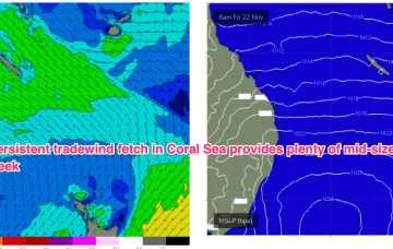
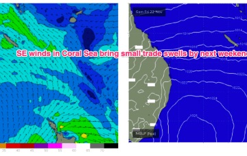
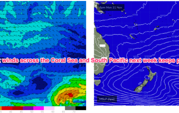
Once the dominant high enters the Tasman on Wed we’ll see a SE’ly to E'ly tradewind pattern start to establish through the Coral Sea, more typical of Summer, likely extending into the weekend with plenty of workable tradewind swell associated with it.

/reports/forecaster-notes/south-east-queensland-northern-new-south-wales/2023/07/28/small-weekend
freeride76
Friday, 28 July 2023

A trough and cold front are being rapidly shunted southwards by a blocking high which is moving NE into the sub-tropical Tasman and weakening. The current swell sources are slowly drying up leaving us with small background swells for the weekend.

/reports/forecaster-notes/south-east-queensland-northern-new-south-wales/2023/07/26/flukey-s-swells
freeride76
Wednesday, 26 July 2023

We’ve still got a massive high pressure system (1037 hPa) moving over inland NSW, slowly weakening as it enters the Tasman Sea through tomorrow and over the weekend.  The ridge up along the sub-tropical coast will break down as it does so.  A powerful front has passed through the Tasman, creating a pulse of long period S’ly groundswell.

/reports/forecaster-notes/south-east-queensland-northern-new-south-wales/2023/07/24/se-winds-slowly
freeride76
Monday, 24 July 2023

We’ve got a monster high pressure (1037 hPa) sitting on the edge of the Bight and moving slowly eastwards, maintaining a firm ridge up most of the Eastern Seaboard. A pair of coastal troughs which were expected to form a large area of low pressure off the Capricorn Coast are weakening and moving northwards through the near term.

/reports/forecaster-notes/south-east-queensland-northern-new-south-wales/2023/07/21/lots-action-ahead
freeride76
Friday, 21 July 2023

Fridays S’ly change is linked to a robust front (and long angular trough of low pressure in the Tasman) and the northwards intrusion into the Tasman will bring plenty of directional S swell- up into the 4-5ft range at S facing beaches in NENSW, smaller 2ft in SEQLD.

/reports/forecaster-notes/south-east-queensland-northern-new-south-wales/2023/07/19/extended-run-the
thermalben
Wednesday, 19 July 2023

The current trade swell will continue to slowly ease through Thursday and with our focus shifting back to the south over the coming week, SE Qld surfers should try to make the most of anything you see later today or tomorrow.

/reports/forecaster-notes/south-east-queensland-northern-new-south-wales/2023/07/17/much-more-dynamic
freeride76
Monday, 17 July 2023

We’ve got a mobile pattern this week with high pressure over NSW slipping out into the Tasman, before a trough and front push into the Tasman in advance of another high cell moving over Southern NSW into the Tasman. We’ll see quite a few wind change this week as a result and an upgrade in S-S/SE swell energy as the trough and front develop a handy fetch in the Tasman

/reports/forecaster-notes/south-east-queensland-northern-new-south-wales/2023/07/14/welcome-round
freeride76
Friday, 14 July 2023

The blocking high has established quite a healthy trade flow through the Northern down to Central Coral Sea and extending out to New Caledonia. Current ASCAT (satellite windspeed) passes show a broad coverage of 20kt+ winds through this zone with CQ observations confirming 3ft surf.

/reports/forecaster-notes/south-east-queensland-northern-new-south-wales/2023/07/12/extended-run-fun
freeride76
Wednesday, 12 July 2023

The high pressure cell develops a healhy trade-wind flow through the Coral Sea into this weekend, generating fun waves from the E. It’s quite a persistent pattern, breaking down mid next week. Small, flukey S swells get even smaller and flukier in the interim, while peaky tradewind swell chugs away.

/reports/forecaster-notes/south-east-queensland-northern-new-south-wales/2023/07/10/another-week
freeride76
Monday, 10 July 2023

Another week begins with a classic winter El Niño pattern. High pressure over the continent with a W’ly flow being enhanced by a series of mobile fronts and parent lows, sending small S swell pulses our way. Nothing of any size its expected due to the zonal and mobile nature of the fetches so you’ll need to find a swell magnet.