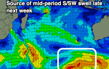
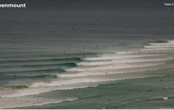
A lot of swell energy to work with this weekend with improving conditions Sun
Friday, 9 February 2024
A lot of swell energy to work with this weekend with improving conditions Sun
Friday, 9 February 2024
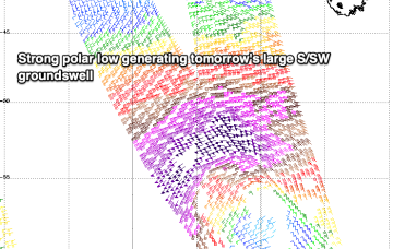
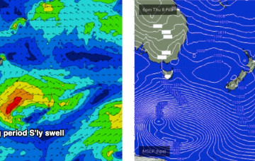
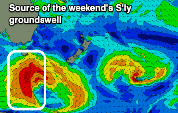
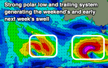
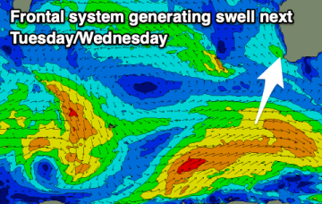
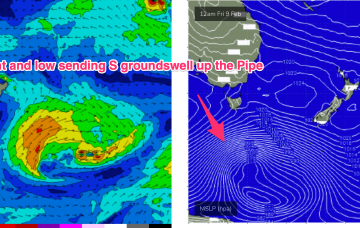
We’ve got a very strong high pressure belt at the moment with a cell in the Tasman (twin cells actually, straddling New Zealand) and monster high moving in from the Bight. A trough off the NSW coast is focusing SE winds along the Eastern Seaboard, with a strong front/low traversing the Lower Tasman.