Slow period ahead, best suited to exposed beachies

South-east Queensland and Northern NSW Surf Forecast by Ben Matson (issued Fri 26th Aug)
Forecast Summary (tl;dr)
- Easing S'ly swell this weekend (biggest south of the border, early Saturday), becoming very small Sun
- Small E/NE swell for SE Qld later Mon/Tues/Wed, very small south from Ballina
- Light winds & sea breezes north from Ballina most of next week
- Northerlies affecting Mid North Coast late Mon/Tues
- Better (tho' still small) trade swell next Fri/Sat
Recap
Decent S’ly swell on Thursday managed 3-5ft sets at south facing beaches south of the border, 2-3ft at the Gold Coast’s south swell magnets and 1-2ft on the Sunshine Coast. Smaller surf has prevailed today, around 3ft+ in Northern NSW, 2ft on the Gold Coast and 1.5ft on the Sunshine Coast. Morning winds have been favourably offshore before southerlies kicked in through the days.
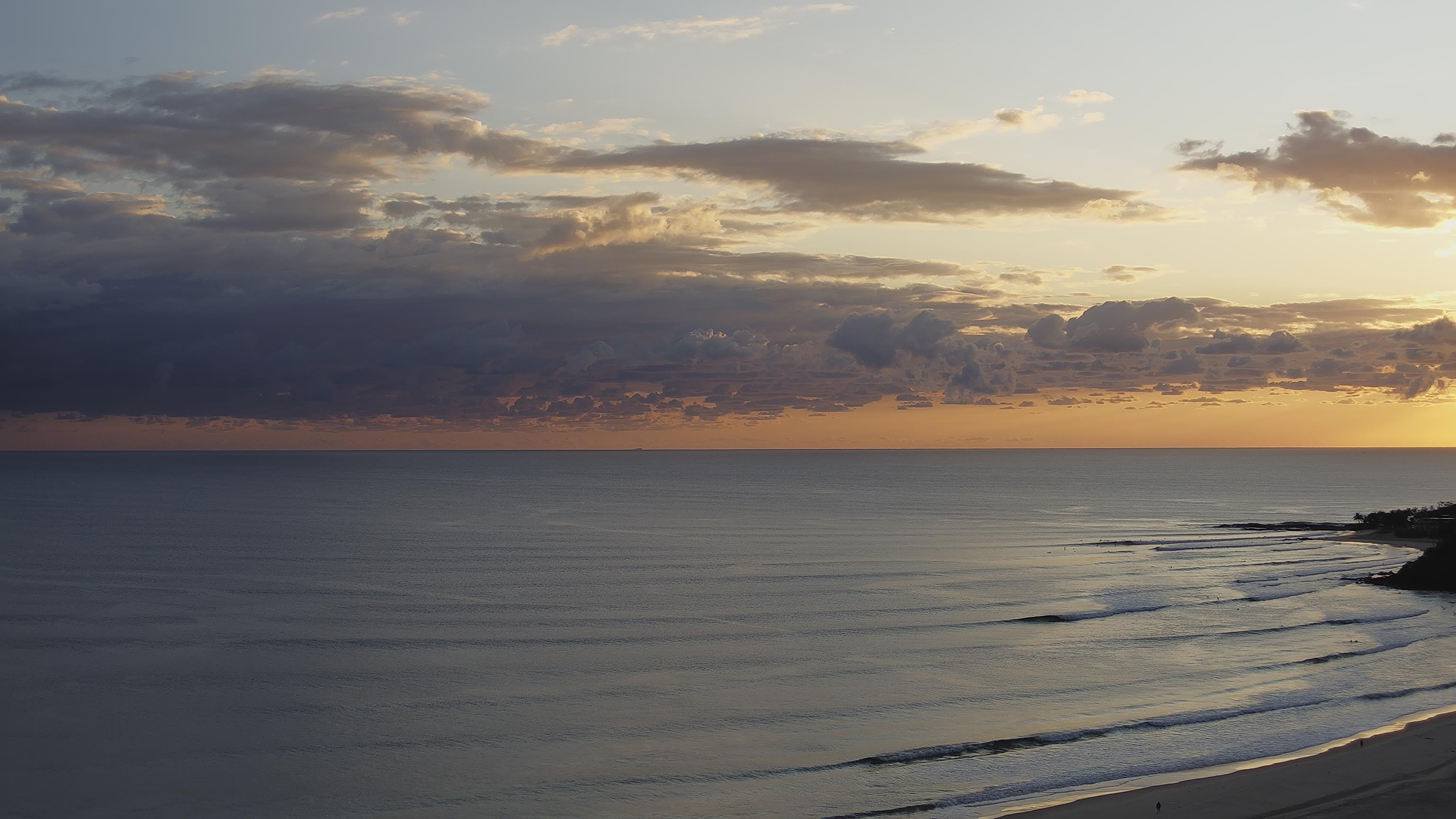
Lovely morning at Cooly this AM
This weekend (Aug 27-28)
Bit of a slow weekend ahead, with easing southerly swells for Saturday becoming very small into Sunday.
Aside from diminishing southerly swells (still 3-4ft in Southern NSW today), we’ll see minor levels of sideband SE energy from a modest, poorly aligned S/SW fetch off the west coast of New Zealand.
Size wise, Northern NSW will pick up the bulk energy with 3ft sets at south swell magnets on Saturday morning (smaller elsewhere), easing through the day and probably levelling out around 1-2ft on Sunday. North of the border it’ll be tiny away from south swell magnets, which may reach 1-2ft early Saturday but will also steadily throttle back.
Local winds should be OK through the mornings, generally light and variable for a few hours early on, before S/SE winds develop through Saturday afternoon and N/NE breezes pick up on Sunday afternoon (mainly affecting the Mid North Coast).
Aim for an early surf on Saturday for the best waves of the weekend, and make sure you hit up somewhere that’s south friendly.
Next week (Aug 29 onwards)
Strong trades through the central and northern Coral Sea over the weekend will gradually extend south by late Sunday, nosing just far enough into SE Qld’s eastern swell window to allow for a minor increase in short range E/NE energy.
We’ll see building size into the 2ft range on the Gold Coast and Northern Rivers by Monday afternoon (smaller to begin with), slightly larger on the Sunshine Coast, but smaller south from about Ballina.
This energy should ebb and flow for a few days, easing perhaps into Thursday but then rebuilding on Friday thanks to a freshening of tradewinds north of New Zealand around Wednesday. Despite being positioned a little further away, this next fetch looks better placed for a broader coverage of size (i.e. along the Northern NSW coast) and also a smidge more size than the late Mon/Tues energy.
Local winds look OK for SE Qld and Far Northern NSW in general though there is a northerly risk late Mon and Tues, especially south from Yamba where it could become gusty at times.
Despite the small size, Wednesday is probably the pick of the period for Northern NSW as we’ll see winds go variable as a weak trough encompasses the region. A small south swell is also possible later Wednesday and Thursday (in Northern NSW) from W/SW gales exiting eastern Bass Strait on Tuesday.
Otherwise, the charts are looking quiet for the rest of the week. A series of strong fronts sliding underneath the continent should poke their heads into our far southern swell window mid-late week, suggesting some long period southerly swell for next weekend, but we’re otherwise looking at an extended period of small surf for the beaches.
Have a great weekend!