More active week of surf
Monday, 20 January 2025

More active week of surf
Monday, 20 January 2025
While not overly significant, there is a bit more swell and surf to work with this period.
While not overly significant, there is a bit more swell and surf to work with this period.
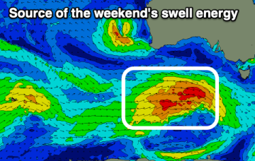
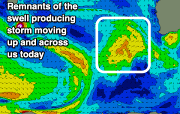
A final low pressure system associated with our recent complex synoptic pattern moved from a position north of New Zealand last week, into the Tasman Sea over the weekend.
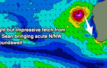
The coming week is mostly average, apart from a flukey northerly groundswell from Severe Tropical Cyclone Sean.
The coming week looks generally small and onshore with some better swell and a window of light winds due this weekend.
The coming week looks dicey wind wise when the swell comes up, better into the weekend and early next week.
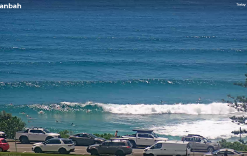
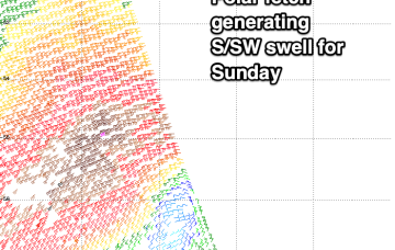
The best low for Northern NSW/SE Qld surfers is already sitting just north of New Zealand, and is generating E’ly swells that will feed into Sunday’s mix and provide solid 4ft waves across most exposed coasts, holding into Monday.
The Tasman Sea currently has a number of low pressure centers, driving strong winds from a couple of directions across various parts of the basin.
The weekend looks generally small and weak with better surf due next week.
Sunday looks the best across selected spots ahead of a more reliable outlook next weekend.
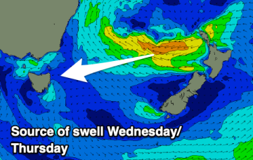
Make the most of the large swell due over the coming days.