Small S pulses favouring south of the border continue 
Wednesday, 17 September 2025
Small S pulses favouring south of the border continue
Wednesday, 17 September 2025
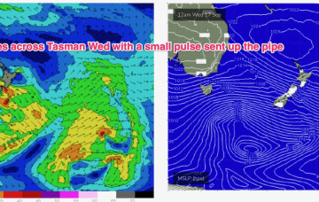
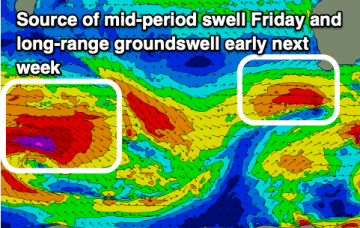
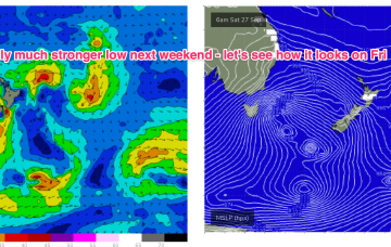
Weak high pressure is moving in over the continent with a highly mobile passage across the Tasman from tomorrow. Rapid movement of fronts re-occurs over the weekend with a stronger S swell signal now expected into next week.