Couple of swells on the cards, winds still an issue

Nias, Mentawai, South Sumatra forecast by Craig Brokensha (issued Tuesday 27th October)
Best Days: Protected spots every day over the coming period (smallest Thursday)
This week and next week (Oct 28 – Nov 6)
A fresh pulse of inconsistent S/SW groundswell that hit later yesterday is now starting to ease across the islands, with a further dip in size due into tomorrow, bottoming out Thursday.
Lighter S/SE winds are due across the region tomorrow and Thursday before freshening again from Friday.
Our inconsistent long-range SW groundswell for Friday and Saturday is still on track, generated by a vigorous polar low firing up under South Africa over the weekend.
The swell should build slowly Friday and reach 4-5ft+ later in the day, peaking Saturday to 5-6ft and then easing into Sunday.
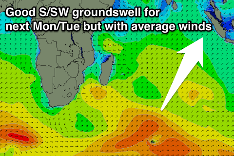 Into early next week a stronger S/SW groundswell is due across the region, with it currently being produced to the west of Heard Island by an elongated and vigorous polar frontal progression.
A solid kick in size is due Monday afternoon when it arrives, offering good 6ft+ sets, easing from the 6ft range Tuesday and further into the end of the week.
Unfortunately fresh S/SE winds will persist through the peak of the swell before easing Wednesday and becoming variable from Thursday.
Longer term there's nothing significant on the cards, but we'll have another look at this Thursday.
16 day Mentawai forecast graph
16 day Nias forecast graph
16 day South Sumatra forecast graph