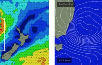
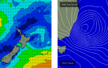
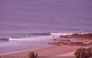
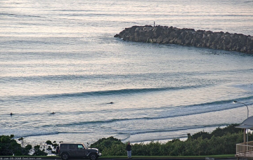
So, next week’s looking pretty dynamic, eh? I’ve been talking about this potential ECL since last Monday, and I gotta say - the models have been pretty impressive thus far. There’s very little change to the surf outlook for next week.
Primary tabs
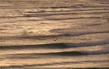
/reports/forecaster-notes/south-east-queensland-northern-new-south-wales/2020/07/10/small-peaky
thermalben
Friday, 10 July 2020
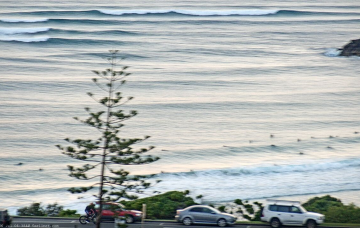
/reports/forecaster-notes/south-east-queensland-northern-new-south-wales/2020/07/08/plenty-south
thermalben
Wednesday, 8 July 2020
Although today’s expected size increase came in just at the bottom end of forecast expectations, I’m holding generally steady with the outlook for Thursday as I feel the longer period energy is yet to show properly, and will probably muscle up a little overnight ahead of a gradual easing through the day. More in the Forecaster Notes.
/reports/forecaster-notes/south-east-queensland-northern-new-south-wales/2020/07/06/few-more-days
thermalben
Monday, 6 July 2020
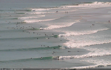
A ridge across the East Coast will maintain southerly quadrant winds for the next three days (two, south from Yamba). And there's plenty of more south swell ahead. More in the Forecaster Notes.
/reports/forecaster-notes/south-east-queensland-northern-new-south-wales/2020/07/03/stacking-the
thermalben
Friday, 3 July 2020
The weekend looks pretty average, overall. But there's some interesting S'ly swells on the way, check the Forecaster Notes for more details.
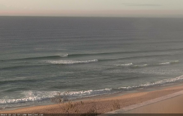
/reports/forecaster-notes/south-east-queensland-northern-new-south-wales/2020/07/01/fun-beachies
thermalben
Wednesday, 1 July 2020
The fetch responsible for the last few days of great waves has remained active off the west coast of New Zealand since Sunday, though is now slowly weakening and rotating outside of our swell window. More in the Forecaster Notes.
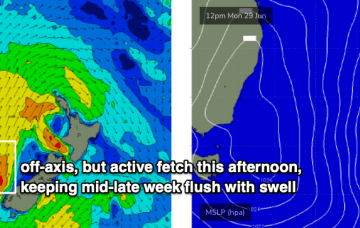
/reports/forecaster-notes/south-east-queensland-northern-new-south-wales/2020/06/29/plenty-se-swell
thermalben
Monday, 29 June 2020
At this stage there’s no reason to deviate from Friday’s estimate. More in the Forecaster Notes.
/reports/forecaster-notes/south-east-queensland-northern-new-south-wales/2020/06/26/bit-o-wind-plenty
thermalben
Friday, 26 June 2020
Having confidence on the likely size from this new SE swell is quite difficult. More in the Forecaster Notes.
/reports/forecaster-notes/south-east-queensland-northern-new-south-wales/2020/06/24/no-shortage-swell
thermalben
Wednesday, 24 June 2020
We’ve got stacks of swell for the weekend, though the anchored coastal ridge will maintain moderate to occasionally fresh S’ly winds across all coasts. More in the Forecaster Notes.
/reports/forecaster-notes/south-east-queensland-northern-new-south-wales/2020/06/22/small-few-days
thermalben
Monday, 22 June 2020
Options will be limited this weekend but there’ll be plenty of windy waves on offer if you’re keen. More in the Forecaster Notes.
/reports/forecaster-notes/south-east-queensland-northern-new-south-wales/2020/06/19/fun-waves-the
thermalben
Friday, 19 June 2020
We’ve had an upgrade in the weekend’s surf potential. More in the Forecaster Notes.