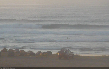
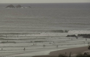
There’s no major change to the weekend forecast. More in the Forecaster Notes.
Primary tabs
/reports/forecaster-notes/south-east-queensland-northern-new-south-wales/2020/09/18/mixed-bag-plenty
thermalben
Friday, 18 September 2020
/reports/forecaster-notes/south-east-queensland-northern-new-south-wales/2020/09/16/stacks-swell
thermalben
Wednesday, 16 September 2020
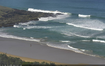
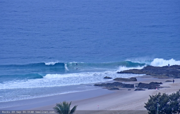
There’ll be waves this weekend though local winds may spoil the party across some regions. More in the Forecaster Notes.
/reports/forecaster-notes/south-east-queensland-northern-new-south-wales/2020/09/14/lacklustre-period
thermalben
Monday, 14 September 2020
I’ve highlighted this small east swell up front because it’ll favour SE Qld beaches, and also because Northern NSW has a much more interesting southerly swell on the way too, which won’t get north of the border. More in the Forecaster Notes.
/reports/forecaster-notes/south-east-queensland-northern-new-south-wales/2020/09/11/weekend-o-east
thermalben
Friday, 11 September 2020
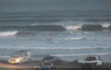
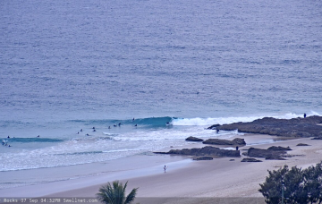
There won’t be any shortage of surf this weekend, though northern regions will see lingering effects from today’s SE airstream into Saturday morning. More in the Forecaster Notes.
/reports/forecaster-notes/south-east-queensland-northern-new-south-wales/2020/09/09/stacks-swell
thermalben
Wednesday, 9 September 2020
A gusty southerly change pushing up the Northern NSW coast overnight should be somewhere around Ballina at dawn, crossing the border mid-late morning and then reaching the Sunny Coast early-mid afternoon. Ahead of its arrival, winds should be light and variable. More in the Forecaster Notes.
/reports/forecaster-notes/south-east-queensland-northern-new-south-wales/2020/09/07/decidedly-non
thermalben
Monday, 7 September 2020
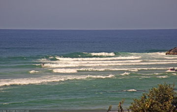
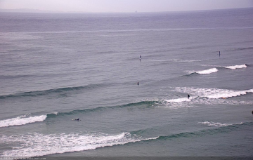
We’ve got some fun waves in store throughout the forecast period. More in the Forecaster Notes.
/reports/forecaster-notes/south-east-queensland-northern-new-south-wales/2020/09/04/small-east-swells
thermalben
Friday, 4 September 2020
A trough will move up the coast over the weekend, creating tricky winds at some point for most coasts, but also a few small windows of opportunity. More in the Forecaster Notes.
/reports/forecaster-notes/south-east-queensland-northern-new-south-wales/2020/09/02/coupla-poor-days
thermalben
Wednesday, 2 September 2020
Let’s cut to the chance - the next few days look really average indeed, mainly due to the presence of a fresh, sustained N’ly breeze. More in the Forecaster Notes.
/reports/forecaster-notes/south-east-queensland-northern-new-south-wales/2020/08/31/brief-pulse-the
thermalben
Monday, 31 August 2020
A cold front pushed across Southern NSW today, and a decent south swell is trailing behind. But, conditions look iffy. More in the Forecaster Notes.
/reports/forecaster-notes/south-east-queensland-northern-new-south-wales/2020/08/28/patchy-outlook
thermalben
Friday, 28 August 2020
A strong front has pushed into the Tasman Sea, though it’s expected to last only short period in our swell window. More in the Forecaster Notes.