Onshore winds set in again

Western Australia Surf Forecast by Craig Brokensha (issued Friday 25th September)
Best Days: No good days, possibly Perth and Mandurah Wednesday morning
Recap
Windy though good conditions and great waves across all locations yesterday, easing from 6ft+ in the South West, 2-3ft in Mandurah and 2ft across Perth.
Today the surf is smaller but still holding 1-2ft around Perth and Mandurah, back to 4ft on the sets in the South West.

This week and weekend (Sep 26 – Oct 2)
I hope you got a few waves the last couple of days in the South West as we're in for a run of pesky onshore conditions for the period, not letting up until at least late next week.
Looking at the weekend and there's no decent new swell due with a weak front moving in bringing moderate W/NW winds tomorrow, similar Sunday morning but then strengthening into the afternoon. Perth and Mandurah are likely to see a variable wind early Sunday but the surf will be tiny.
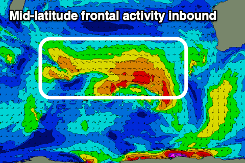 Moving into next week and moderate sized pulses of W/SW swell are due, generated by weak mid-latitude fronts generating fetches mostly of strong to sub-gale-force W/NW-W/SW winds.
It looks like the first front in this progression will be best, with it currently developing south-east of Madagascar. This will generate a fetch of strong to gale-force but weakening W/NW winds, with the swell later Tuesday and peaking Wednesday.
A secondary weaker front firing up on its tail will generate some additional close-range swell with the size likely to peak Wednesday to 6-8ft in the South West, 2-3ft across Mandurah and 2ft+ in Perth.
Winds will be poor and fresh to strong out of the W/NW on Tuesday, weaker Wednesday and from the W/NW. We may see variable winds early around Perth and Mandurah but check back Monday for more on this.
Another front moving into us Thursday will see winds strengthen again out of the west, but the size will be on a downwards trend.
Later in the week we may see a high move in, swinging winds to the south, followed by a new S/SW swell on the weekend. The models diverge regarding the polar front generating the swell though, so again come back Monday.
Following the brief period of improving winds it looks like we'll see renewed mid-latitude frontal activty and onshore winds into the first week of October. Have a great weekend!