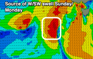
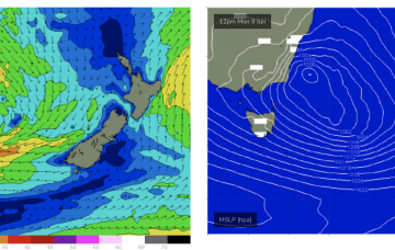
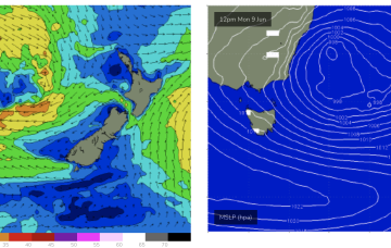
Large and stormy swells expected to build from Sun as low stalls East of Tasmania
Friday, 6 June 2025
Large and stormy swells expected to build from Sun as low stalls East of Tasmania
Friday, 6 June 2025
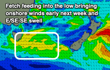
We’ll then see a few days of elevated surf with strong winds to low end gales in the southern flank of the low aimed up at Tasmania.