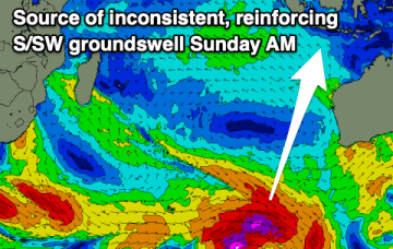
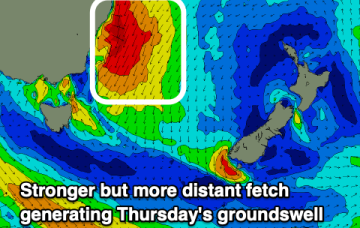
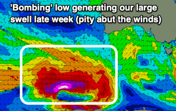
Large surf filling in today, easing tomorrow with windows for both regions
Wednesday, 4 October 2023
Large surf filling in today, easing tomorrow with windows for both regions
Wednesday, 4 October 2023
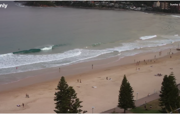
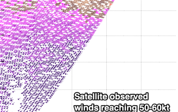
The Mid Coast is better than expected wind wise today so make the most of it and target the South Coast tomorrow.