Large NE swell mid week, looking best Thursday

Sydney Hunter Illawarra Surf Forecast by Ben Matson (issued Mon 2nd Oct)
Features of the Forecast (tl;dr)
- Building NE windswell Tues, becoming large later Wed but with windy conditions north from the Illawarra
- Fresh offshores Thursday with quality but rapidly easing NE swells
- Building S'ly swells Fri, holding Sat, easing Sun
Recap
S'ly swells maintained 2-3ft sets at south facing beaches over the weekend (still some leftover 4ft bombs early Sat) with a fun level of NE windswell in the mix on Sunday too. A gusty overnight S'ly change Sunday delivered punchy but average quality S'ly windswell this morning, as winds slowly ease in strength. We've still got a small underlying NE windswell still persisting in the mix.
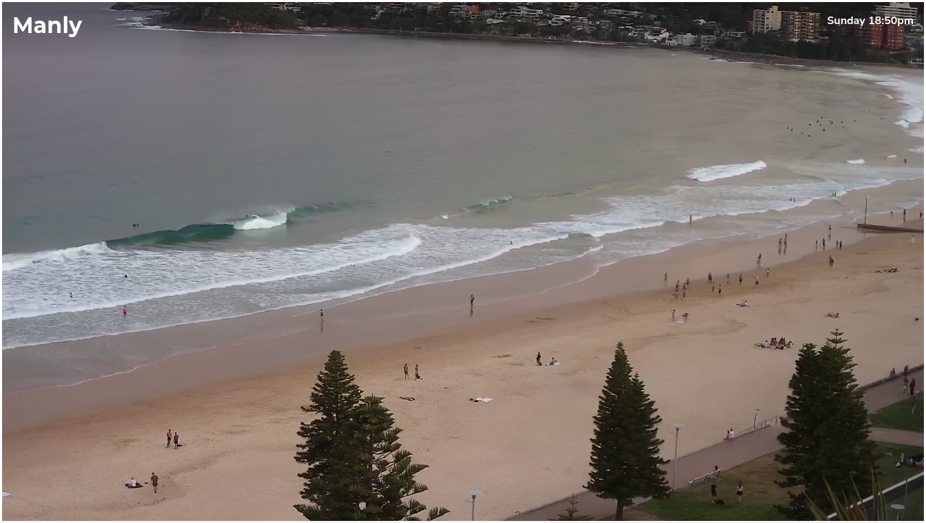
How was Sunday's LAGO?
This week (Oct 3 - 6)
Main feature on the short term synoptic charts is a strengthening N'ly fetch adjacent the NSW coast, between a Tasman high and an approaching front through the Bight. It's one of the strongest N'ly local fetches we've seen in a while and will consequently deliver a punchy, sizeable NE windswell during the middle of the week.
Tuesday will start off with a peaky mix of leftovers from today, with freshening northerlies all day - though early morning may offer a brief window of light winds. The developing fetch looks to be a ittle disjointed at first which will limit the morning's size increase but as we head into the afternoon we'll see NE facing beaches push into the 2-3ft+ range, maybe some bigger sets on dark.
It's also worth mentioning at this point that the Hunter usually doesn't perform as well under local NE windswells, but the South Coast often over-achieves (relative to Sydney) thanks to the longer fetch length. So you may need to recalibrate your thinking after the recent spell of southerly swells.
Wednesday is where the N'ly fetch will really start to take shape, though we'll see mixed conditions along the coast thanks to a weak trough pushing into the southern region, which will eventually evolve into a Tasman Low (by Thursday). What's a little unusual about Wednesday's developments is the slow moving nature of the northerly fetch - normally they strengthen quickly as a front approaches from the west, and then dissipate and/or push out of our swell window as the front crosses the coast - but this week is will see an active band of strong to gale force northerlies from later Tuesday right through Wednesday, even persisting into Thursday morning off the Northern NSW coast.
FWIW, the fetch is modeled to reach peak intensity off the Hunter/Sydney coast early evening Wednesday, before strong offshore W/NW winds kick in around the developing Tasman Low. This suggests an overnight peak in size locally.
As such, the trend for Sydney and southern regions will be up all day Wednesday, from 3-4ft to 4-6ft at beaches exposed to the north. Conditions look pretty average all day though there is an outside chance - now that we've got an extra hour of daylight up our sleeve - that some coasts may see winds veer to the NW just before dark. It'll be well worth keeping an eye on local obs from about 3pm onwards.
Note: south from the Illawarra, under the influence of the trough, local winds look to be variable on Wednesday, perhaps an initial S/SW breeze in the Far South, otherwise there could be some very worthwhile opportunities with better conditions, as the NE swell builds in size.
Fresh to strong W/NW winds on Thursday will accompany a rapid easing trend. Unfortunately, the swell will probably peak overnight (likely 6ft+ sets) but by dawn we'll probably be down to 3-5ft at NE facing beaches, maybe some bigger waves across the South Coast, easing to 2ft+ by late afternoon.
It'll be super clean though and as a result, Thursday is certainly the pick of the week.
Interestingly, the developing Tasman Low is expected to display 50kts+ W/SW winds exiting eastern Bass Strait on Thursday morning, and this will generate an acute south swell that'll glance the South Coast late afternoon, reaching Sydney overnight and showing best through Friday, blending in with a secondary southerly swell from a broadening S/SW fetch off Tasmania's East Coast (also on Thursday).
Although the NE swell will be all but gone by this time, we should see building southerly swells to 3-5ft at south facing beaches by Friday afternoon (the upper end of this size range across the Hunter).
As per usual, beaches not exposed to the south will be much smaller in size, though conditions are looking OK with morning W/SW winds veering S/SW throughout the day.
This weekend (Oct 7 - 8)
On Friday, the Tasman Low will receive a polar injection from a passing front in the Southern Ocean, which will broaden the primary fetch on its western flank, though it will be tracking unfavourably to the east.
Nevertheless, this system will generate strong southerly swells for Saturday, easing only slightly into Sunday thanks to an active SW frontal regime through the lower south-eastern Tasman Sea.
So, let's peg Saturday's size around 4-5ft at south facing beaches, easing to 3-4ft Sunday, with generally favourable morning winds. Saturday is at risk of redeveloping southerlies form mid-morning onwards though they shouldn't be too strong.
Either way, there's no shortage of surf expected this weekend.
Next week (Oct 9 onwards)
Lots of activity expected in the Southern Ocean from the weekend into next week which suggest a healthy supply of useful long period southerly groundswell, though no major size is expected. Late Wed/Thurs appear to offer the peak size of the week (maybe some 3-4ft sets) though I'll revise this in Wednesday's update.
Even better, a weak ridge of high pressure should create clean conditions for much of the week, with light variable winds and afternoon sea breezes.
More on this over the coming days.
Comments
Mmm very small at dark 1-1.5 ft and the wind has backed right off ..fingers crossed for tomorrow
In between systems.
It’s a beast of system ..crazy waves and thunderstorms for Wednesday.. going to be pretty wild ..
Yep, very keen to see how this unfolds.
These northerly fetches usually follow a set pattern, especially when it comes to timing. This one's a bit askew, though in a good way.
Good to be out and about some chunk finally. Biggest surf I've seen in a while and it was only 4-5ft.
Just drove up the coast. Most beaches now doing a Skeleton Bay impression...if Skeleton Bay was onshore and breaking in twenty metre sections.
Still, it's all lefts with a hell sweep breaking under low grey clouds. Squint and you're in Namibia.
I'm going to squint then lol.....cheers!
Heading out soon, taking a long lunch break from work lol.
Doesn't look big enough to move enough sand around unfrotunately. The banks have been so crap around the Gong for months...
Skeleton bay impression!!! Spot on call Stu ..swell is definitely building..massive sweep..