Average weekend, small windows for next week and weekend
Friday, 20 October 2023
Average weekend, small windows for next week and weekend
Friday, 20 October 2023
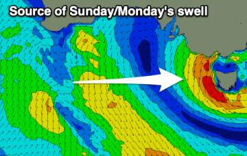
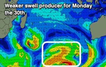
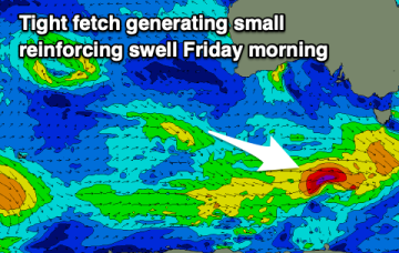
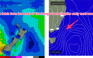
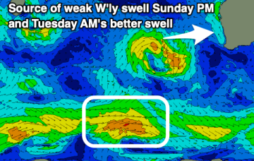
The coming period remains lack lustre swell wise with early next week looking the best ahead of next weekend.