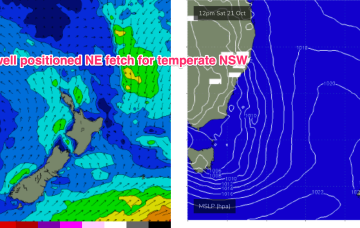
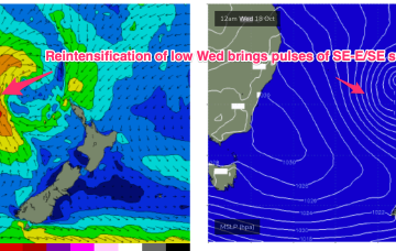
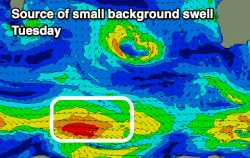
Weak swells for the period with funky winds
Wednesday, 18 October 2023
Weak swells for the period with funky winds
Wednesday, 18 October 2023
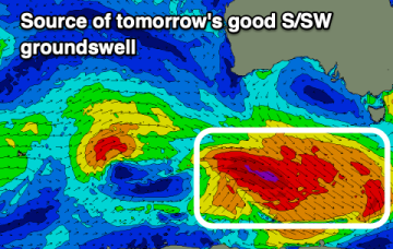
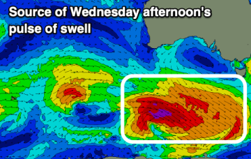
The coming period remains so/so, but we might see a larger swell developing for late next week.