Plenty of south swell, just gotta pick the windows

Sydney Hunter Illawarra Surf Forecast by Ben Matson (issued Fri 6th Oct)
Features of the Forecast (tl;dr)
- Plenty of S'ly swell all weekend
- Average conditions Saturday under moderate S'lies (pockets of early W/SW winds)
- Better conditions Sun with light variable winds and sea breezes
- Small pulsey south swellls all of next week, generally favourable conditions
Recap
Strong though easing NE swells from 4-5ft Thursday morning, clean with fresh offshore winds (check out Craig's gallery here!), down to 2ft this morning but supplemented by a strong S'ly swell around 4-5ft at south facing beaches. Many locations saw morning W'ly winds until about 10am, though it's now fresh S/SE.
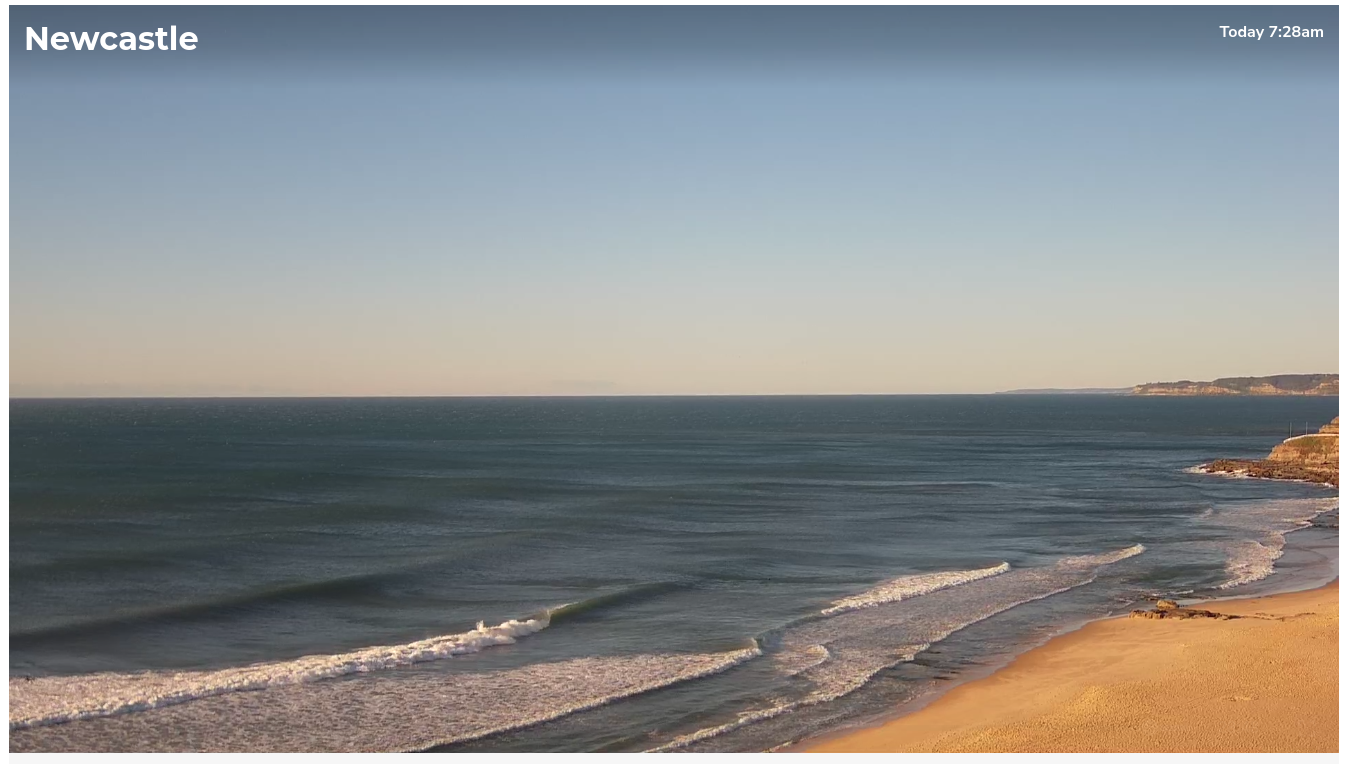
Fun lefts reeling down Newcastle Beach Thursday morning
This weekend (Oct 7 - 8)
No changes to the weekend outlook.
A series of secondary southerly swells will fill in overnight, replacing today's energy and maintaining wave heights around 4-5ft at south facing beaches for Saturday, easing from a much less consistent 3-5ft Sunday morning, smaller into the afternoon. Bigger bombs are possible across the Hunter region and other reliable south swell magnets.
Also in the mix from late Saturday (South Coast) through Sunday - though not mentioned in previous forecast notes, due to the complexity of the evolving Tasman Low and its three inbound swell trains - is an extra southerly groundswell, very long period in fact, sourced from a bombing low below the continent earlier this week. This swell reached Victoria this morning, with its leading edge displaying peak swell periods of 22 seconds.
It won't produce any more size (for Southern NSW) than what was previously mentioned, however it will contribute occasional long-lined sets every so often that could punch above their weight (i.e. occupying the top part of the forecast size range mentioned above).
As for conditions, we'll see generally moderate southerlies (fresh on the Hunter) bumping up open beaches on Saturday, though a few locations here and there may see a brief morning W/SW flow (i.e. the Northern Beaches).
Sunday look much better all round with light offshore winds and afternoon sea breezes.
Well worth a look if you've got a south-friendly beach up your sleeve!
Next week (Oct 9 onwards)
No major revisions to the outlook for next week either.
A ridge of high pressure over the Tasman Sea will provide clean conditions most mornings, with afternoon sea breezes ruffling the surface. Troughiness may envelop the coastal margin later in the week (and lead to less favourable conditions) but this doesn't look overly adverse right now.
The slack synoptic situation locally means we'll be replying on distant southerly sources for our surf.
A strong polar low well sourth of Tasmania today will provide a nice pulse of long period swell into the 3ft range for Monday afternoon (so, smaller earlier), persisting Tuesday morning but slowly easing. An active Southern Ocean will provide intermittent pulses for the rest of the week, including some S/SE energy mid-late week from a polar intensification below New Zealand around Monday - but it's all peripheral stuff and won't contribute a huge amount of size. However there'll be plenty of waves on offer most days, at beaches open to the south.
I can't see any break in the pattern beyond that, we'll have to take a closer look in Monday's update.
Have a great weekend!
Comments
After that recent swells still no improvement with the banks it’s actually worse if it’s possible!!!!!..the search continues
Yep, need a bigger mix up. It did move things slightly but not enough.