Great South Coast run continues
Monday, 14 April 2025
Great South Coast run continues
Monday, 14 April 2025
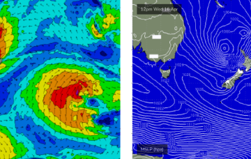
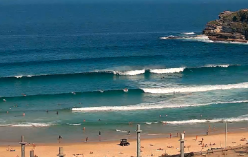
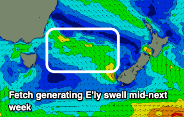
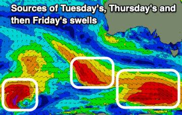
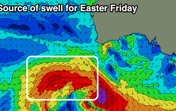
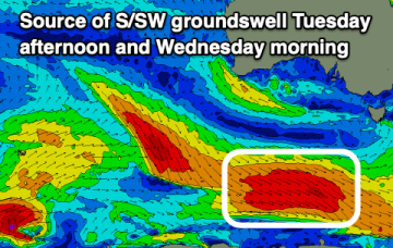
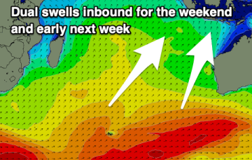
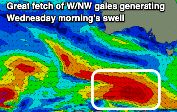
Conditions will be great this week across the South Coast with plenty of fun sized surf, with a small west swell to end the week inside the gulf.