Average options for the short term; long term starting to look like summer
Monday, 6 December 2021
Average options for the short term; long term starting to look like summer
Monday, 6 December 2021
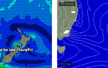
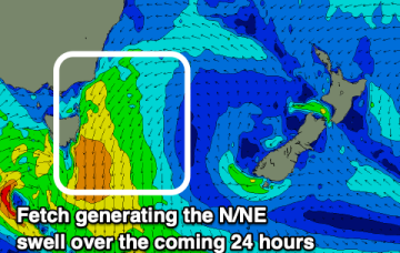
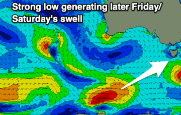
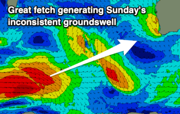
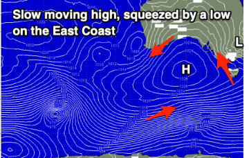
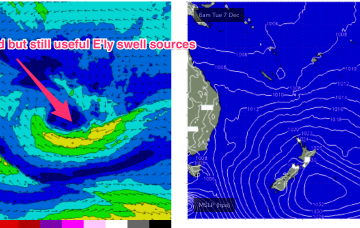
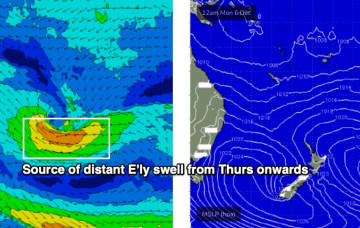
Looks like a weekend of fresh southerly winds, and a summery mix of S/SE and E’ly swells.