Mainly small swells across Southern NSW

Sydney, Hunter and Illawarra Surf Forecast by Ben Matson (issued Monday 8th August)
Best Days: Tues: small fun waves, though N'ly winds could spoil the surf as the swell reaches an a'noon peak. Wed: small clean waves early. Sun: a'noon increase in new S'ly swell. Mon/Tues: stronger S'ly groundswell.
Recap: Strong S/SE swell over the weekend and generally favourable winds produced very good waves at many beaches. Wave heights remained around the 4-5ft mark at south facing beaches both days but eased into this morning, albeit with a small renewal of fresh E/SE swell.
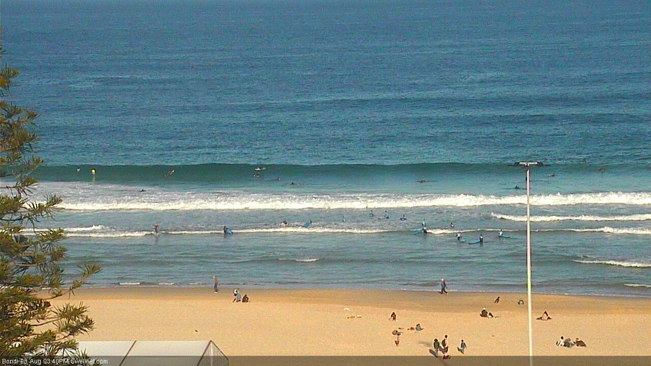
Bondi this afternoon, still some fun waves about
This week (Tues 9th - Fri 12th August)
Looks like a relatively quiet week of surf across Southern NSW. However, we have a few small sources on the charts so it’s not going to go completely flat.
A moderate front tracking northwards through the south-eastern Tasman Sea right now is aimed mainly towards northern regions (i.e. New Caledonia) but we’ll still see some sideband S/SE thru’ SE energy from it push into the coast on Tuesday.
This swell is expected to build slowly throughout the morning - and let me emphasize the lack of oomph this swell will probably display - with peak wave heights expected into the afternoon. Slow sets should push up somewhere slightly bigger than 2ft but probably just short of 3ft at south facing beaches by close of business, with smaller waves likely early morning ahead of its upwards trend.
Local winds look OK Tuesday morning but a freshening northerly is likely during the day, so you’ll need to aim for protected northern corners into the afternoon as the swell builds. Keep your expectations in check.
Tuesday’s small pulse will then ease throughout Wednesday, with early 1-2ft+ sets at south facing beaches beaches back to 1ft+ by the afternoon. Winds should be back around to the northwest, freshening with an approaching frontal system. There is a mild risk of a developing northerly but this will probably be confined to the Mid North Coast (with more NW winds likely south of the Hunter).
A small low forming off the North Island of New Zealand has been slowed in its development; it’s now expected to reach peak strength early Wednesday morning, though aimed towards Northern NSW. We’ll see some slow E/SE swell fill in throughout Thursday - but this system has been weakened since Friday’s model runs. In fact, this swell has been downgraded to the point where the models are not picking it up at all.
I still think we’ll see very slow 1-2ft sets fill in throughout Thursday afternoon, showing strongest early Friday, but considering what we’ve had of late I wouldn’t recommend rearranging your diary for it.
Otherwise, the swell window is largely devoid of anything noteworthy to finish the week. Some small N’ly wind waves are possible on Wednesday, and a weak front pushing into the south-western Tasman Sea mid-week may generate a small south swell for later Thursday afternoon (inconsistent 1-2ft south facing beaches, tiny elsewhere) with a marginally better-aligned front overnight possibly increasing this to somewhere between 2ft and maybe 2-3ft on Friday afternoon if we’re super lucky - but again, I wouldn’t hold out much faith for anything amazing.
At least local conditions should be pretty good with mainly offshore winds.
This weekend (Sat 13th - Sun 14th August)
Friday’s possible - and I stress the low confidence here - south swell will ease rapidly through Saturday morning, and freshening NW winds will brush the surface clean.
So, don’t be expecting much on the surf front for the first half of this weekend.
A strong front will move into the lower Tasman Sea during Saturday, and this looks like a much better swell producing system for Sunday, with the resulting south swell expected to increase up into the 2-3ft+ range during the day (may be undersized early).
Current expectations are that local winds will generally behave, with mainly W/SW winds early, tending moderate S/SW during the day, but I’ll refine that outlook in Wednesday’s and Friday’s notes.
Next week (Mon 15th August onwards)
Saturday’s frontal passage is likely to be the precursor to stronger secondary and tertiary fronts, due over the following days that should generate stronger, long period southerly swells for Monday and Tuesday of next week.
Early indications are for solid 4-5ft sets at most south facing beaches at some point, however I’ll firm up the specifics later this week.
Comments
All good swell must come to a halt. do you think we'll see 2ft surf at south facing beaches tomorrow morning? thanks for the update Ben.
Yeah should be a couple of feet leftover, just don't think it'll be very inconsistent. We'll be between pulses and the next one isn't looking too strong so you've gotta temper your expectations when there's no defined swell front etc.
thanks mate. trying to make the most of the week ahead. hopefully Sunday the goods
I can understand the swell must end but what happened to the pulse
of swell that you had down for sunday?
Yesterday? It was there.. Looked pretty good to me when I checked the cams. Delivered great surf up into Northern NSW and even parts of SEQld too.
No discernible trend in the surf today, there's been nice waves since sunrise (small bump in TP1 around midnight; but Hsig has slowly eased all day).
Looks plenty fun on a high volume stick at Bondi.
Sorry I disagree it was noticeably smaller Sunday than Saturday.