Poor week of surf across all locations, better weekend
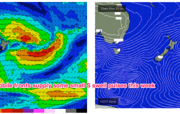
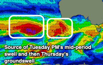
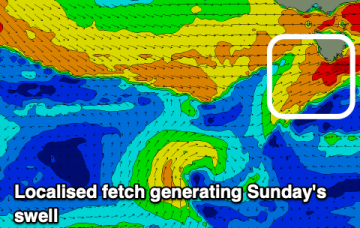
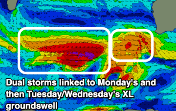
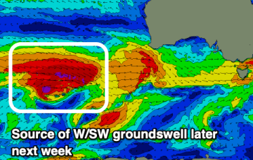
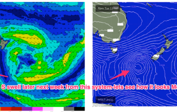
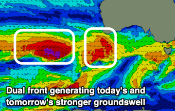
Large swells with persistent onshore winds all week, easing into the weekend with a window of cleaner conditions.
Another week begins with a classic winter El Niño pattern. High pressure over the continent with a W’ly flow being enhanced by a series of mobile fronts and parent lows, sending small S swell pulses our way. Nothing of any size its expected due to the zonal and mobile nature of the fetches so you’ll need to find a swell magnet.
Another week begins with a classic winter El Niño pattern. High pressure over the continent with a W’ly flow being enhanced by a series of mobile fronts and parent lows, sending small S swell pulses our way.
The Mid Coast will be fun over the coming days, with great surf down South as westerly swells persist.
Favourable winds and plenty of westerly swell thanks to the storm track peaking towards Western Australia.
Fading S/SE swell tomorrow with tricky westerly pulses to follow.
There's lots of swell to come this period but the South West will remain onshore. There are a couple of windows to the north.
A severe frontal system will kick up large stormy surf in the gulf, best down South. Next week looks much better wind wise.
We’re still expecting gale force NW winds to develop Sat, with a chance for N’ly windswell wrap into the NE of the Island.
We’re still on track for basically offshore winds all weekend as high pressure to the north and a series of fronts to the south bring the W’ly belt across the Southern half of the maritime continent up intp the sub-tropics.