Not much to look forward to (just one window of opportunity)

South Australian Surf Forecast by Ben Matson (issued Friday 21st October)
Features of the Forecast (tl;dr)
- Onshore all weekend down south
- Tiny on the Mid Sat, but a new swell may provide fun small waves Sun PM
- Not much surf for the Mid next week
- Plenty of surf Mon/Tues down south, but onshore; winds and swells easing from Wed
Recap
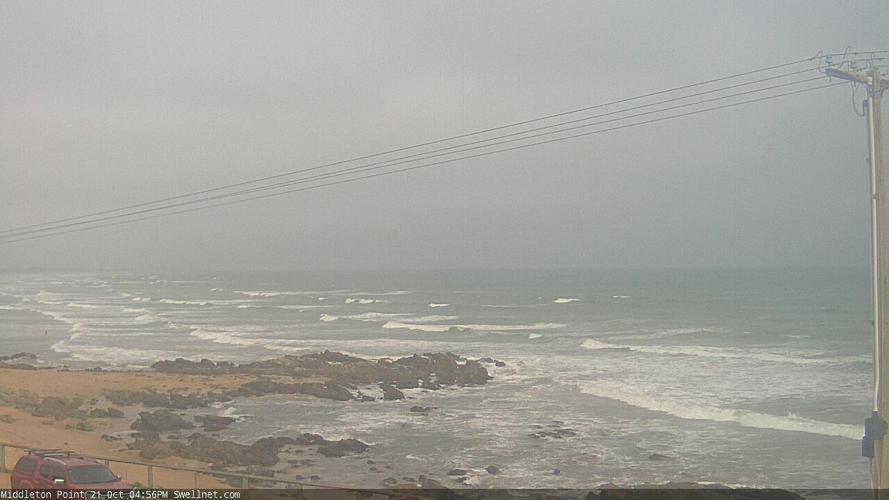
The Mid’s seen tiny, clean conditions over the last few days, and it’s been onshore down south (though with plenty of swell).
This weekend (Oct 22 - 23)
The weekend looks poor for Victor.
We’re likely to see periods of light to moderate onshore winds on Saturday that may offer workable conditions, but wave heights will be trending down from today and it’ll be hard to find anything worthwhile.
Sunday is a write-off, as a strengthening SE flow will reach gale force by the afternoon as a high pressure system in the southern Bight ridges up against a developing trough of low pressure across southern Victoria. It’s going to be a dog’s breakfast.
As for the Mid, no new swell is expected Saturday so we’ll see a continuation of tiny clean conditions.
Sunday however will see a small new groundswell push into the coast, sourced from a decent front tracking SW of WA over the last few days. Wave heights will probably be very undersized early morning (watch for a kick in Tp at the CdC buoy just before dawn), but there should be some small lines showing by lunchtime and the afternoon’s on track for very inconsistent, but fun sets up to 1.5-2ft across the swell magnets reefs, with clean conditions under a fresh offshore breeze.
But, please let me emphasise once more: there will be very long breaks between rideable waves. So don’t expect a high wave count.
Next week (Oct 25 onwards)
A stationary synoptic pattern for most of next week means generally poor surf across both coasts.
The reasons are as such: the synoptic block will steer Southern Ocean storms away from our swell window, so we’ll be replying on local swell sources - which will be absent from the northern Bight. This means the Mid will be tiny (apart from some minor residual energy leftover from Sunday, on Monday).
Victor actually has a lot of size potential thanks to an unusual near-stationary S/SE thru’ SE fetch extending from western Bass Strait, parallel along the Limestone Coast and up into the South Central Coast. This will generate a funky S/SE swell for the region though winds will generally be onshore as the height of the energy on Monday and Tuesday.
Winds will veer W’ly on Wednesday as a closed low forms across the Tasmanian region, but the mid-range S/SE swell will be rapidly easing by this time.
Long story short: not much on the cards for next week, until the regional block breaks down into the weekend. But lots can happen between now and then so let’s take a closer look on Monday.
Have a great weekend, see you then!