No lack of swell with winds varying for the period

South Australian Forecast by Craig Brokensha (issued Friday 28th August)
Best Days: South Coast tomorrow and protected spots Sunday morning, both coasts Monday (from mid-morning South Coast), South Coast Tuesday
Recap
Small, clean waves for the South Coast yesterday, tiny and choppy on the Mid Coast with a good new S/SW groundswell filling in today. The South Coast is building from a clean 3-4ft, with foggy 1-1.5ft sets on the Mid Coast.
We should see the S/SW groundswell reaching 4-5ft with weak sea breezes and if we’re lucky, variable winds.
This weekend and next week (Aug 29 - Sep 4)
This afternoon’s S/SW groundswell should ease fairly rapidly into tomorrow owing to the fast eastward movement of the front that generated it, though we’ll see some infrequent W/SW groundswell from the earlier stages of the progression halting the drop in size.
Easing sets from 4ft are due across Middleton tomorrow morning, with the W/SW groundswell energy maintaining 3ft+ sets into the afternoon, with a touch less size Sunday and to 3ft.
The Mid Coast should see the W/SW groundswell providing infrequent 1-1.5ft waves tomorrow, but an approaching mid-latitude low will bring strengthening N/NE winds creating average conditions, much better suited to the South Coast.
The low will move in Sunday bringing strong W/NW tending W/SW winds and increasing wind-mid-period swell for the Mid and mid-period S/SW swell for the South Coast later, easing Monday.
It will initially (the low) be north of our swell window but dip south-east into it, with a fetch of strong to gale-force S/SW winds moving less than ideally for swell production.
The Mid Coast looks to build to a choppy 2-3ft, with the South Coast coming in around 3ft in the morning, building later to 4ft.
 We should then see the size ease quickly with dropping sets from 4ft Monday down South, 2ft on the Mid Coast but with S/SW tending variable winds down South. This looks to create improving conditions across Victor, with a morning S/SE’ly on the Mid Coast.
Tuesday will be good for the exposed beaches down South with a better offshore N/NE wind and smaller, easing swell.
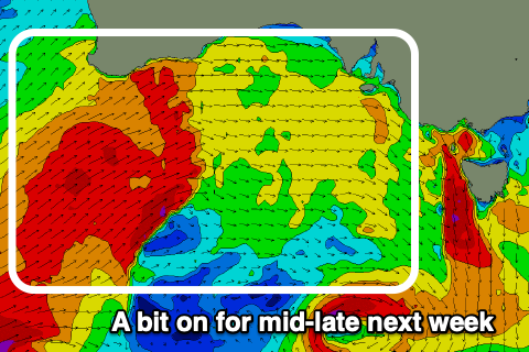
Longer term a significant but distant low moving through the southern Indian Ocean will generate an XXL swell for Western Australia Monday, with the swell arriving across our state Wednesday with less size and consistency owing to swell decay.
The size from this low looks minimal but a series of stronger mid-latitude lows firing up across and under WA through early-mid next week should produce some better and larger W/SW energy.
An initial front Tuesday should kick up a building W/SW swell Wednesday but with N/NW tending W/NW winds, larger and possibly stormy Thursday as a much more significant front pushes in. More on this Monday though. Have a great weekend!
Comments
The new river mouth ‘surf cam’ is more of a sky cam. Be good to get it angled down a touch (y)
Unfortunately, there's a roof in the way (though, TBH even if angled down wouldn't see any more surf). FWIW.. the 'sky' aspect of the cam is useful from a weather forecasting POV too.
How long does it take for the CDC wave buoy swell size to hit the Victor coast ?
For example if CDC starts hitting 6m when will that size arrive at Dribbleton ? 2-4 hrs or longer ?
Would also love to know this about the Mid coast!
Yes good question, sat out at s-hole for 5 hours Friday getting a few waves, waiting for it to turn on proper but never did! Did the swell hit late? Or not at All?
Then too small Sunday!
Edit, too small saturdee
Talking of cams,when is Seaford getting one?
coastal watch has one for free
For the mid it’s roughly 6hrs from cdc but spring/neap tide / wind swell direction etc etc etc.... too many planets to be aligned lol..