Large westerly swell inbound
Monday, 7 February 2022
Large westerly swell inbound
Monday, 7 February 2022
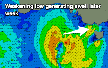
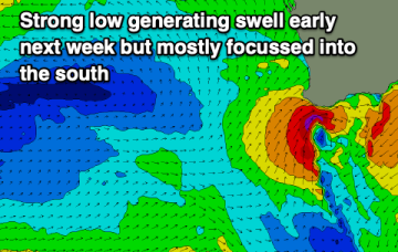
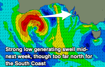
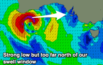
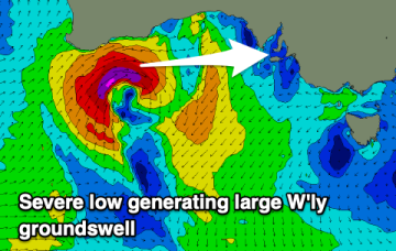
A severe low forming under the Western Australian coast will generate a large westerly swell this week.
A severe low forming under the Western Australian coast will generate a large westerly swell this week.
A poor week of surf with no decent swell and onshore when it builds. Cleaner, fun waves on the beaches come the weekend.
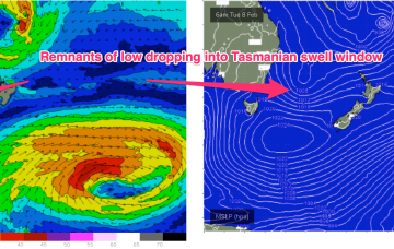
While this swell is aimed at NSW, the fetch continues to dip south as it weakens, eventually reaching the Eastern Tas swell window later Mon.
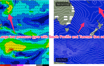
A monster high moving through the Bight is strengthening with the pressure gradient tightened along the entire ridge line by a low pressure trough with embedded low systems in it.
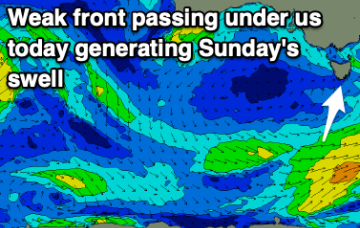
Easing S/SE swell with a new SW swell for Sunday with favourable winds.
A strong monsoonal surge pushing off the tropics into the Coral Sea is super-charged by the vorticity created by the monster high pressure ridge. Models now seem in broad agreement that a large, dual-centred, low pressure gyre forms across the Coral Sea/South Pacific and into the North Tasman Sea.
Easing surf with deteriorating conditions on the weekend, larger and windy early next week.
A monster high moving through the Bight is strengthening with the pressure gradient tightened along the entire ridge line by a low pressure trough with embedded low systems in it. The trough extends from the South Island New Zealand up to the monsoon trough across CapeYork Peninsula and into the Gulf of Carpenteria.
A severe low will form off the Western Australian coast and drift into our swell window Monday, generating a sizey westerly groundswell.
Winds will come out of the east to north-east over the coming days but with small levels of weak swell.