Slowly improving conditions with fading surf
Monday, 10 February 2025
Slowly improving conditions with fading surf
Monday, 10 February 2025
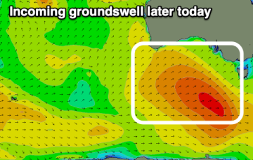
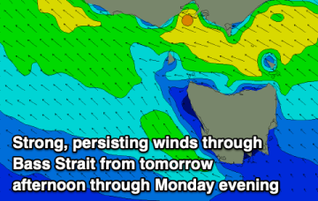
The beaches will slowly improve over the coming days with fun options for the keen. The weekend will build in size but with generally onshore winds.