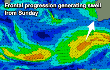
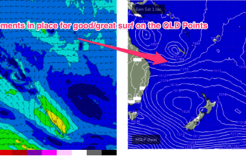
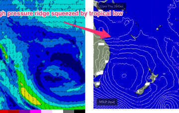
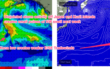
Easing swells to finish off the Year
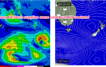
A few small/tiny days follow as weak pressure gradients become established as high pressure drifts across the State.
The main issue this week will be the lack of decent sized swell. A bit more energy is due Sunday and Monday but with less than ideal winds.
In the tropics the Monsoon trough is now active, with good odds of cylogenesis occurring before the New Year and plenty of surf ahead.
A strong 1033hPa high is located well to the south of the Bight, with a ridge now surging up the East Coast. In the tropics the Monsoon trough is now active, with good odds of cylogenesis before the New Year
There's not much to work with this week with improving winds later but with minimal levels of swell. A slightly better swell is due early next week.
Nowhere near as good as last week but there'll be one day worth aiming for a paddle.
Next week offers a major pattern change for the QLD coast as a dominant high pressure system drifting E of Tasmania sets up a strong high pressure ridge along the coast.
W/NW energy from severe gales between Hokkaido and Honshu is expected to build surf Mon with 13-15 second period energy seeing wave heights rise to Hawaiian 4-5ft. Peaking Tues in the 6ft+ range before easing during the day. Lighter E’ly trades suggest an excellent day of surfing.
NE windswell looks to build from Thurs, as a dominant high drifts towards New Zealand, allowing winds from the western flank to form a coast hugging fetch south from Jervis Bay.
Models have invested in the start of the Northern Australian Monsoon (NAM) as the year ends, suggesting a tropical low tracking across the Northern Territory into the Gulf of Carpenteria and then across Cape York Peninsula into the Coral Sea towards the end of next week.