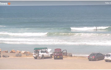
A few small pulses from the S, strongest Sun
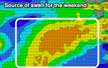
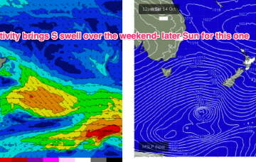
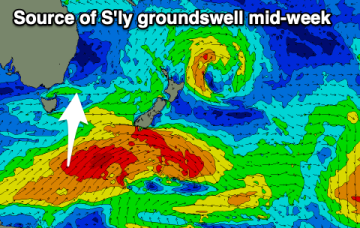
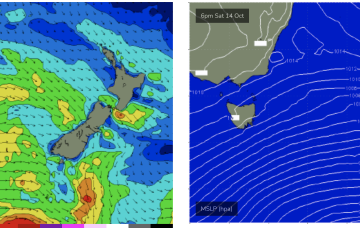
Sunday looks a little juicier as the large fetch of gales passes into the Tasman generating a stronger S swell.
Easing surf is due tomorrow, increasing a little again Friday but more so on the weekend with plenty of wind.
Moderate strength high pressure (1025 hPa) is drifting NE into the Tasman with a strong polar storm well SW of NZ exiting the swell window. That should see a settled short term before another complex trough and frontal system pushes north along the coast tomorrow with a stiff SW-S change. N'ly winds into the weekend under a very mobile, troughy pattern with some potential next week for a surface low to form in one of the trough lines.
Better winds and fun swell pulses are due into the end of the week and weekend, deteriorating from Tuesday next week.
Moderate strength high pressure (1025 hPa) is drifting NE into the Tasman with a strong polar storm well SW of NZ exiting the swell window. That should see a settled short term before another complex trough and frontal system pushes north along the coast tomorrow with a stiff SW-S change. More rapid wind changes into and over the weekend under a very mobile, troughy pattern with some potential next week for a surface low to form in one of the trough lines.
The Mid Coast will offer surfable waves from tomorrow afternoon but with average winds. Cleaner in protected spots on the South Coast.
There's a mix of weak swells on the way for the coming period with tricky winds. There'll be windows across both regions though.
Building surf later week but more so into early next week.
I’m not super confident on the weekend outlook.
The coming week will see ebbs and pulses of S'ly groundswell on the south magnets.