Small swells with windows of morning offshores
Monday, 23 October 2023
Small swells with windows of morning offshores
Monday, 23 October 2023
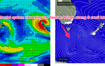
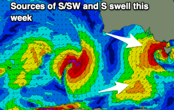
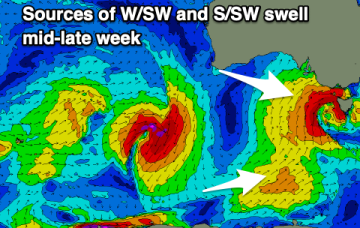
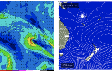
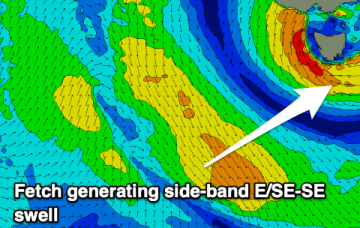
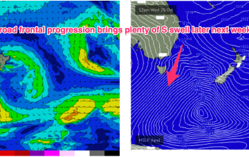
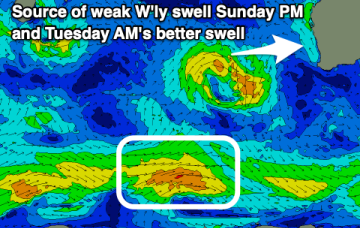
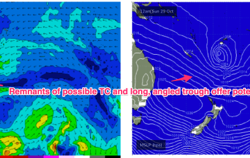
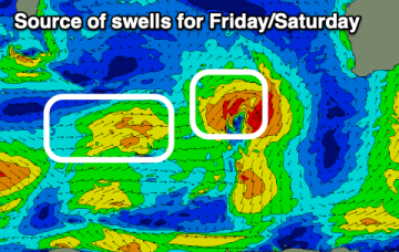
The coming period remains slow but there are a couple of clean mornings with fun, small surf.