Improvement in wind outlook for the weekend down South
Friday, 26 January 2024
Improvement in wind outlook for the weekend down South
Friday, 26 January 2024
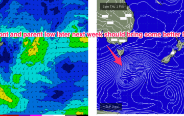
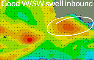
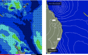
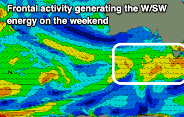
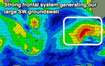
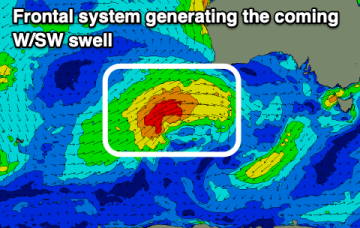
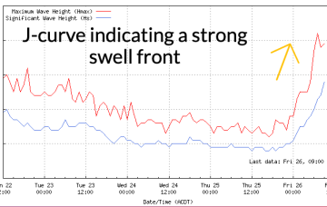
There's no change to the incoming W/SW swell but the South Coast looks to offer a window of cleaner conditions early tomorrow.